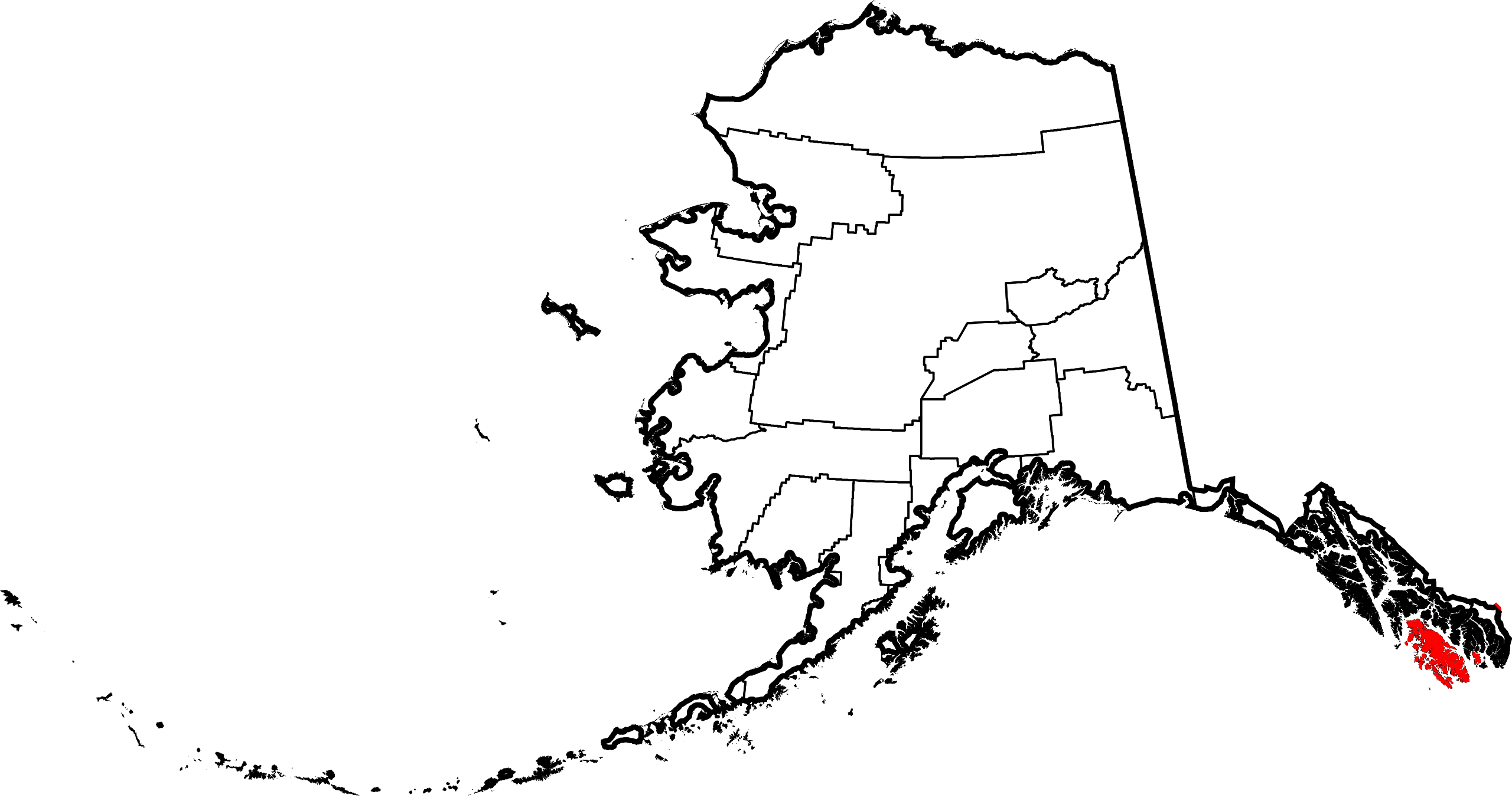
Map_of_Alaska_highlighting_Prince_of_Wales-Hyder_Census_Area.svg

Size of this PNG preview of this SVG file:
800 × 423 pixels
.
Other resolutions:
320 × 169 pixels
|
640 × 338 pixels
|
1,024 × 541 pixels
|
1,280 × 677 pixels
|
2,560 × 1,353 pixels
|
1,470 × 777 pixels
.

|
This file requires updating.
In doing so, you could add a timestamp to the file.
|
Summary
| Description | |
| Date | |
| Source | Own work |
| Author | Dtbohrer |
| Other versions |

|
| SVG development |
Licensing
|
|
I, the copyright holder of this work, release this work into the
public domain
. This applies worldwide.
In some countries this may not be legally possible; if so: I grant anyone the right to use this work for any purpose , without any conditions, unless such conditions are required by law. |