Map_of_Buckley.jpg
Size of this preview:
337 × 599 pixels
.
Other resolutions:
135 × 240 pixels
|
270 × 480 pixels
|
432 × 768 pixels
|
576 × 1,024 pixels
|
1,520 × 2,703 pixels
.
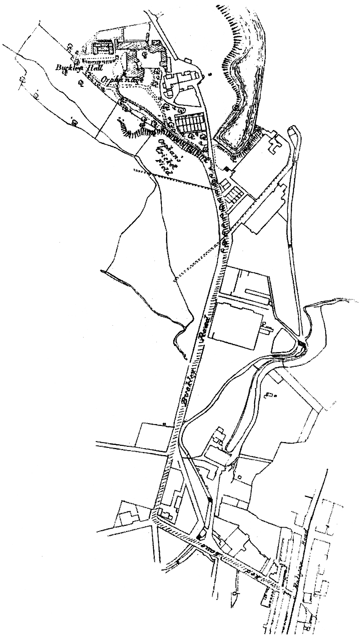
| Description | A map of Buckley, then in the Rochdale borough of Lancashire (now Greater Manchester), in North West England. | ||||
| Date | Bet. 1888 - 1947 | ||||
| Source | Pat Gallacher's Buckley Hall Orphanage Rochdale 1888 - 1947 (2003). | ||||
| Author | Ordnance Survey | ||||
|
Permission
( Reusing this file ) |
|
