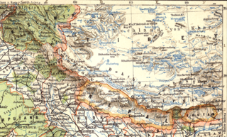
Map_of_Tibet_in_1905,_from-_079_ostindien_(1905)_(cropped).png

Size of this preview:
800 × 482 pixels
.
Other resolutions:
320 × 193 pixels
|
640 × 385 pixels
|
1,166 × 702 pixels
.
Summary
| Description |
English:
East Indies (1905)
Deutsch:
Ostindien (1905)
Slovenčina:
Východná India (1905)
|
||||||||||||||||||||||
| Date | |||||||||||||||||||||||
| Source | Meyers Geographischer Hand-Atlas | ||||||||||||||||||||||
| Creator |
|
||||||||||||||||||||||
| Georeferencing | If inappropriate please set warp_status = skip to hide. | ||||||||||||||||||||||
| Other versions | |||||||||||||||||||||||
.png)
Licensing
|
This is a faithful photographic reproduction of a two-dimensional,
public domain
work of art. The work of art itself is in the public domain for the following reason:
The official position taken by the Wikimedia Foundation is that "
faithful reproductions of two-dimensional public domain works of art are public domain
".
This photographic reproduction is therefore also considered to be in the public domain in the United States. In other jurisdictions, re-use of this content may be restricted; see Reuse of PD-Art photographs for details. |
||||
| Annotations | This image is annotated: View the annotations at Commons |
_(cropped).png)