Map_of_Vigo_County_Indiana_Townships.svg

Size of this PNG preview of this SVG file:
512 × 512 pixels
.
Other resolutions:
240 × 240 pixels
|
480 × 480 pixels
|
768 × 768 pixels
|
1,024 × 1,024 pixels
|
2,048 × 2,048 pixels
.
| Description |
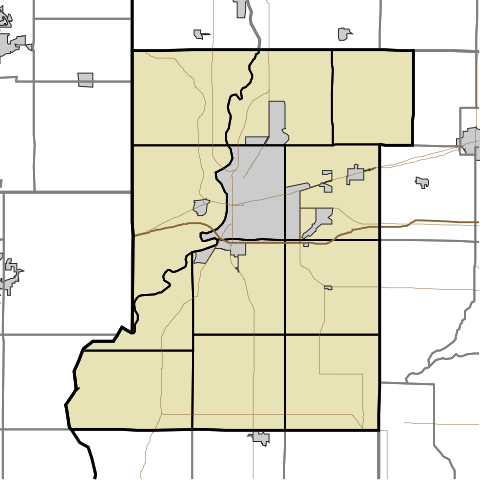
English:
This is a map of Vigo County, Indiana, USA divided into townships.
|
| Date | (UTC) |
| Source | |
| Author |
|
I, the copyright holder of this work, hereby publish it under the following license:
|
|
I, the copyright holder of this work, release this work into the
public domain
. This applies worldwide.
In some countries this may not be legally possible; if so: I grant anyone the right to use this work for any purpose , without any conditions, unless such conditions are required by law. |
Original upload log
This image is a derivative work of the following images:
-
File:Map_highlighting_Prairieton_Township,_Vigo_County,_Indiana.svg
licensed with PD-self
- 2007-11-24T19:33:43Z File Upload Bot (Omnedon) 512x512 (37868 Bytes) == Summary == {{Information |Description={{en|This is a map of Vigo County, Indiana, USA which highlights the location of Prairieton Township.}} |Source=My own work, using freely-available TIGER data and custom-written MapSc
Uploaded with derivativeFX