Map_of_maryland_counties_eastern.PNG
Size of this preview:
800 × 429 pixels
.
Other resolutions:
320 × 171 pixels
|
814 × 436 pixels
.
Summary
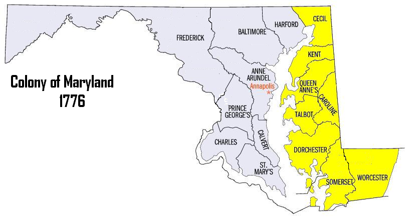
| Description | Colony of Maryland 1776 2nd Maryland Regiment's Recruitment Areas |
| Date | |
| Source | edited by Oldwildbill |
| Author | Oldwildbill |
|
Permission
( Reusing this file ) |
David Benbennick – created Maryland Map for free use. |
|
|
This work has been released into the
public domain
by its author,
Dbenbenn
. This applies worldwide.
In some countries this may not be legally possible; if so: Dbenbenn grants anyone the right to use this work for any purpose , without any conditions, unless such conditions are required by law.
|
|
|
This work is based on a work in the
public domain
. It has been digitally enhanced and/or modified. This derivative work has been (or is hereby) released into the
public domain
by its author,
Oldwildbill
. This applies worldwide.
In some countries this may not be legally possible; if so:
|
Licensing
|
|
This file is licensed under the Creative Commons Attribution-Share Alike 3.0 Unported license. Subject to disclaimers . | |
|
||
| This licensing tag was added to this file as part of the GFDL licensing update . |

|
Permission is granted to copy, distribute and/or modify this document under the terms of the GNU Free Documentation License , Version 1.2 or any later version published by the Free Software Foundation ; with no Invariant Sections, no Front-Cover Texts, and no Back-Cover Texts. A copy of the license is included in the section entitled GNU Free Documentation License . Subject to disclaimers . |