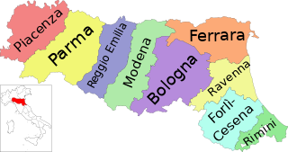
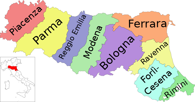
Map_of_region_of_Emilia-Romagna,_Italy,_with_provinces-it.svg

Size of this PNG preview of this SVG file:
800 × 422 pixels
.
Other resolutions:
320 × 169 pixels
|
640 × 337 pixels
|
1,024 × 540 pixels
|
1,280 × 675 pixels
|
2,560 × 1,349 pixels
|
4,800 × 2,530 pixels
.
Summary
| Description | ( Italian version ) |
| Date | |
| Source | Own work |
| Author | Vonvikken |
| Other versions |


|


This
W3C-unspecified
vector image
was created with
Inkscape
.
W3C-validity not checked.

|
This SVG file contains embedded text that can be translated into your language, using any capable SVG editor, text editor or the SVG Translate tool . For more information see: About translating SVG files . |
This
vector image
includes elements that have been taken or adapted from this file:
This
vector image
includes elements that have been taken or adapted from this file:
Licensing
|
|
This work has been released into the
public domain
by its author,
Vonvikken
. This applies worldwide.
In some countries this may not be legally possible; if so:
|