Map_of_the_Armenian_highland_and_Caucasus_mountains_12_122846.jpg
Size of this preview:
757 × 599 pixels
.
Other resolutions:
303 × 240 pixels
|
606 × 480 pixels
|
970 × 768 pixels
|
1,280 × 1,013 pixels
|
2,400 × 1,900 pixels
.
Summary
| Description |
English:
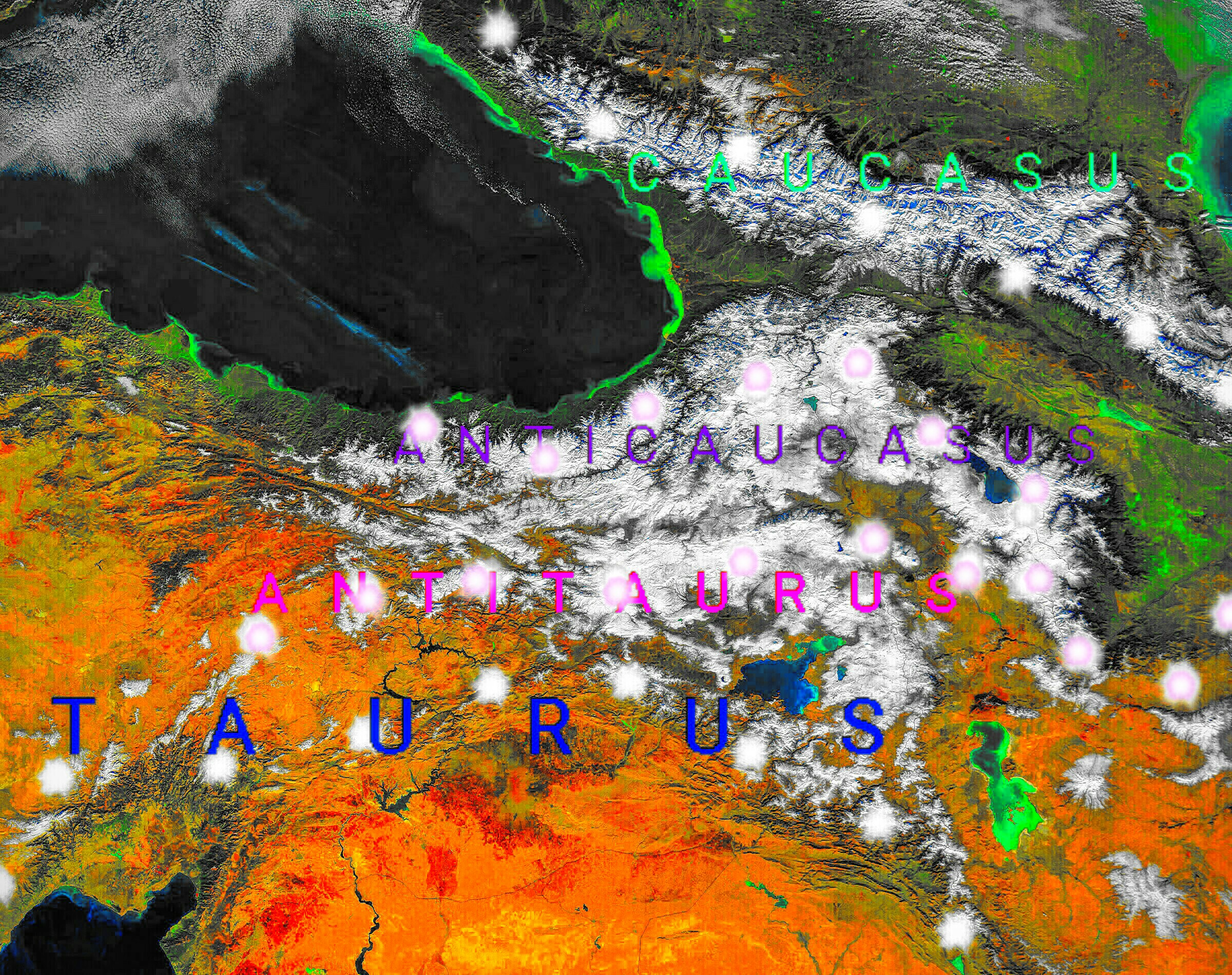
NASA's space satellite photo image of the Armenian highland and Caucasus mountains, which turned into map with descriptions of the geographical areas of this region.
|
| Date | |
| Source | Own work using: Monts du Caucase.jpg |
| Author | Казбек Эльбрусович |
NASA's space satellite photo image of the Armenian highland and Caucasus mountains, which turned into map with descriptions of the geographical areas of this region.
Licensing
|
|
This file is in the public domain in the United States because it was solely created by NASA . NASA copyright policy states that "NASA material is not protected by copyright unless noted ". (See Template:PD-USGov , NASA copyright policy page or JPL Image Use Policy .) |
|

|
Warnings:
|