Map_of_the_Kara-Khanid_Khanate.png
Size of this preview:
800 × 560 pixels
.
Other resolutions:
320 × 224 pixels
|
640 × 448 pixels
|
1,024 × 717 pixels
|
1,280 × 896 pixels
|
2,560 × 1,792 pixels
|
4,540 × 3,178 pixels
.
Summary
| Description |
English:
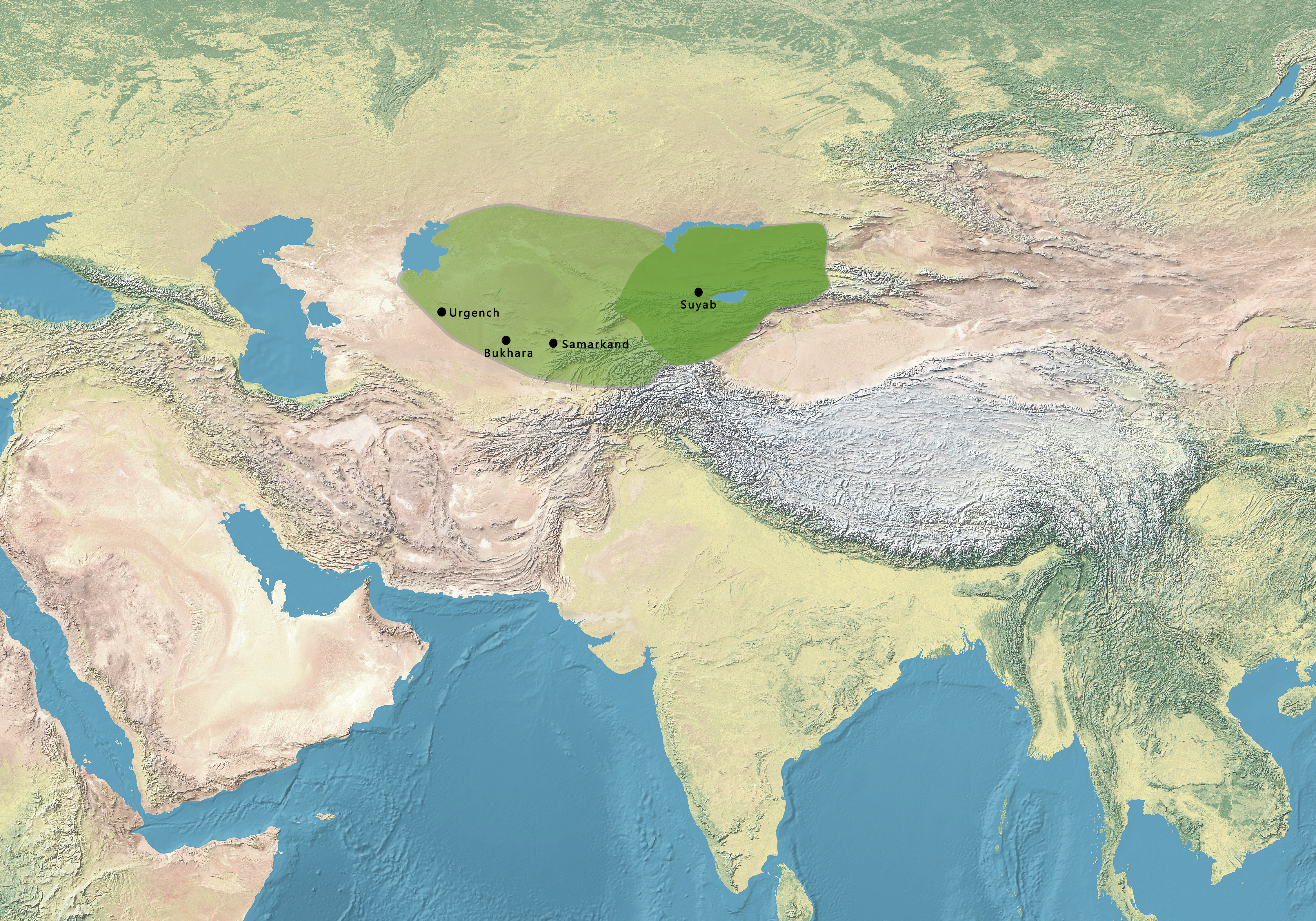
Map of the Kara-Khanid Khanate. Source:
(in English) (30 April 2016)
Palgrave Concise Historical Atlas of Central Asia
, Springer, p. 56
ISBN
:
978-0-230-61090-3
.
|
| Date | |
| Source | |
| Author | Gabagool |


Licensing
This file is licensed under the
Creative Commons
Attribution 3.0 Unported
license.
-
You are free:
- to share – to copy, distribute and transmit the work
- to remix – to adapt the work
-
Under the following conditions:
- attribution – You must give appropriate credit, provide a link to the license, and indicate if changes were made. You may do so in any reasonable manner, but not in any way that suggests the licensor endorses you or your use.