Map_of_the_Territory_of_the_Cornovii_(Midlands).svg

Size of this PNG preview of this SVG file:
466 × 599 pixels
.
Other resolutions:
187 × 240 pixels
|
373 × 480 pixels
|
597 × 768 pixels
|
796 × 1,024 pixels
|
1,593 × 2,048 pixels
|
700 × 900 pixels
.
| Description |
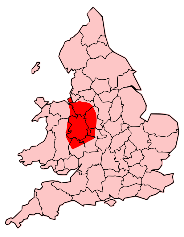
English:
A map showing the territory of the Cornovii tribe overlayed in red in the context of the modern county boundaries of England and Wales
|
| Date | (UTC) |
| Source | |
| Author |
|
| Other versions | Derivative works of this file: Map of the Territory of the Dobunni.svg |
.png)
I, the copyright holder of this work, hereby publish it under the following licenses:
This file is licensed under the
Creative Commons
Attribution-Share Alike 3.0 Unported
license.
-
You are free:
- to share – to copy, distribute and transmit the work
- to remix – to adapt the work
-
Under the following conditions:
- attribution – You must give appropriate credit, provide a link to the license, and indicate if changes were made. You may do so in any reasonable manner, but not in any way that suggests the licensor endorses you or your use.
- share alike – If you remix, transform, or build upon the material, you must distribute your contributions under the same or compatible license as the original.

|
Permission is granted to copy, distribute and/or modify this document under the terms of the GNU Free Documentation License , Version 1.2 or any later version published by the Free Software Foundation ; with no Invariant Sections, no Front-Cover Texts, and no Back-Cover Texts. A copy of the license is included in the section entitled GNU Free Documentation License . |
You may select the license of your choice.
Original upload log
This image is a derivative work of the following images:
-
File:Map_of_the_Territory_of_the_Cornovii_(Midlands).png
licensed with Cc-by-sa-3.0, GFDL
- 2009-06-14T22:37:16Z Jpb1301 737x873 (128895 Bytes) {{Information |Description={{en|1=A map showing the territory of the Cornovii tribe overlayed in red in the context of the modern county boundaries of England and wales}} |Source=Own work by uploader |Author=[[User:Jpb1301|Jp
Uploaded with derivativeFX