Map_of_the_western_Florida_Keys,_from_the_Dry_Tortugas_to_Little_Torch_Key,_showing_boundaries_of_National_Marine_Sanctuaries_2000.jpg

Size of this preview:
783 × 600 pixels
.
Other resolutions:
313 × 240 pixels
|
627 × 480 pixels
|
1,003 × 768 pixels
|
1,280 × 980 pixels
|
1,957 × 1,499 pixels
.
Summary
| Description |
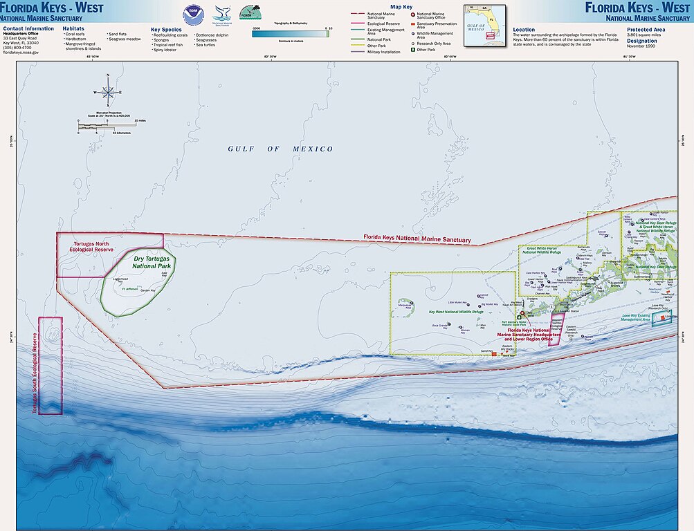
English:
Map of the Florida Keys, showing National Marine Sanctuaries
|
| Date | |
| Source | http://sanctuaries.noaa.gov/pgallery/atlasmaps/fkwest.html |
| Author | Sanctuaries Web Team of National Ocean Service of National Oceanic and Atmospheric Administration of U.S. Department of Commerce |
|
Permission
( Reusing this file ) |
U.S. Federal Government work, therefore public domain |
Licensing
|
|
This image is in the
public domain
because it contains materials that originally came from the U.S.
National Oceanic and Atmospheric Administration
, taken or made as part of an employee's official duties.
|
|
Original upload log
The original description page was
2000.jpg here
. All following user names refer to en.wikipedia.
- 2008-11-16 17:32 Nricardo 2000×1550× (406095 bytes) {{Information |Description=Map of the Florida Keys, showing National Marine Sanctuaries |Source=http://sanctuaries.noaa.gov/pgallery/atlasmaps/fkwest.html |Date=2008-11-16 |Author=Sanctuaries Web Team of National Ocean Service of National Oceanic and Atm