Maramures_Josephinische_Landesaufnahme_1782-1785_Background.jpg

Size of this preview:
614 × 599 pixels
.
Other resolutions:
246 × 240 pixels
|
492 × 480 pixels
.
Summary
| Description |
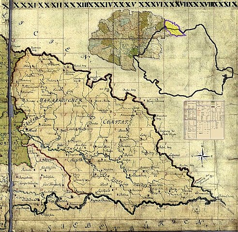
Română:
Miniatură pentru background la formatul senzitiv al
harţii iozefine
a
Maramureşului
, 1782-1785.
|
||
| Date | |||
| Source | Own work | ||
| Author | Asybaris01 | ||
|
Permission
( Reusing this file ) |
I, the copyright holder of this work, hereby publish it under the following licenses:
This file is licensed under the
Creative Commons
Attribution-Share Alike 3.0 Unported
license.
You may select the license of your choice.
|

Clickable Map of the Maramureş County
