Maria_Saal_Kapuzinerstoeckl_Dom_und_Dechantei_W-Ansicht_03072017_0083.jpg
Size of this preview:
800 × 594 pixels
.
Other resolutions:
320 × 238 pixels
|
640 × 476 pixels
|
1,024 × 761 pixels
|
1,280 × 951 pixels
|
2,560 × 1,902 pixels
|
6,123 × 4,550 pixels
.
Summary
| Description |
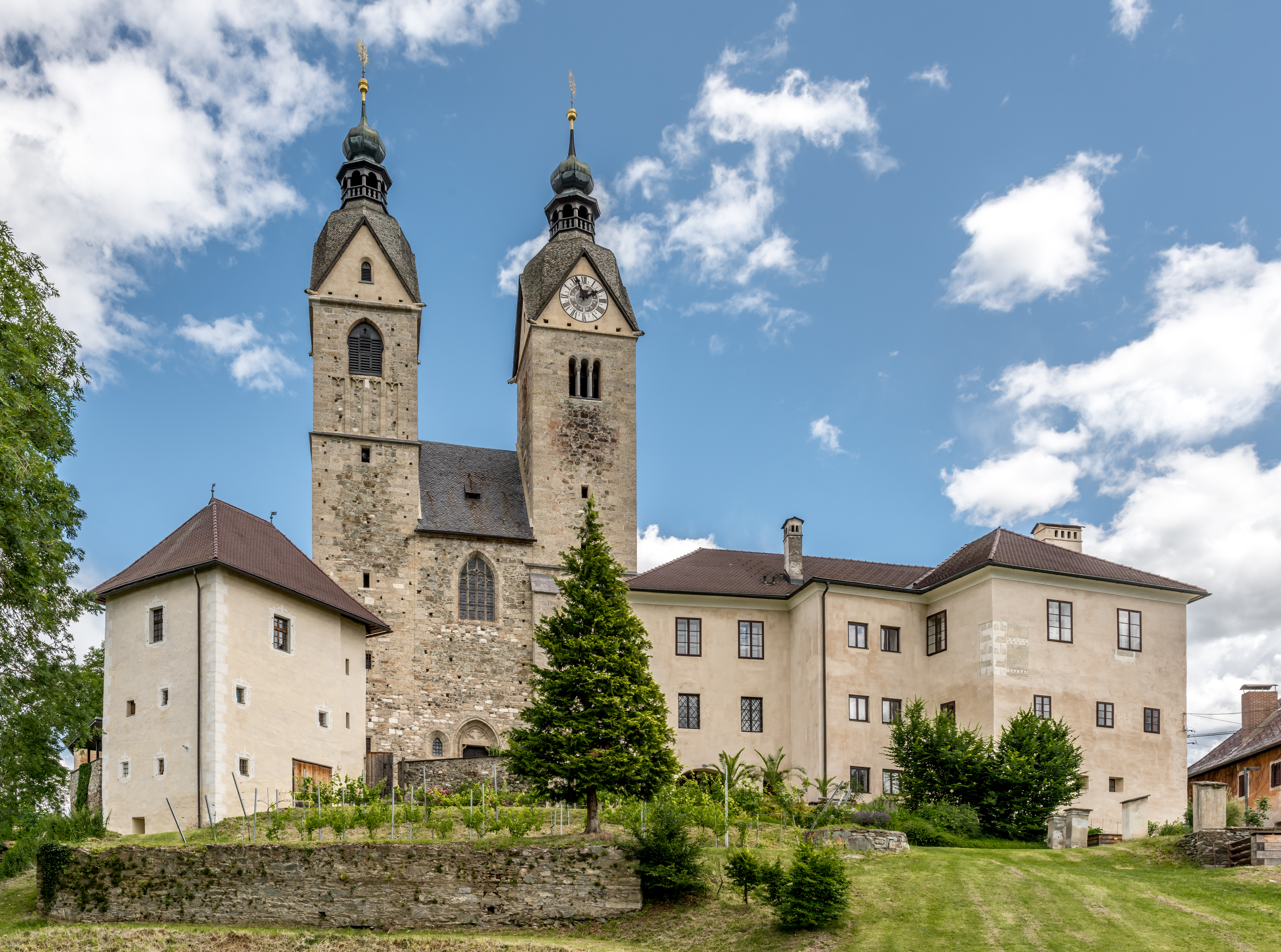
English:
Western view of the Capuchins` manor house, pilgrimage church and rectory, market town
Maria Saal
, district Klagenfurt Land,
Carinthia
,
Austria
,
EU
Deutsch:
West-Ansicht von Kapuzinerstöckl, Dom und Dechantei, Marktgemeinde
Maria Saal
, Bezirk Klagenfurt Land,
Kärnten
,
Österreich
,
EU
|
|||
| Date | ||||
| Source | Own work | |||
| Author | Johann Jaritz | |||
|
Permission
( Reusing this file ) |
I, the copyright holder of this work, hereby publish it under the following licenses:
This file is licensed under the
Creative Commons
Attribution-Share Alike 4.0 International
license.
You may select the license of your choice.
|

|
| Object location |
|
View this and other nearby images on: OpenStreetMap |
|
|---|
Licensing
Johann Jaritz, the copyright holder of this work, hereby publishes it under the following license:
This file is licensed under the
Creative Commons
Attribution-Share Alike 4.0 International
license.
Attribution:
Johann Jaritz /
CC BY-SA 4.0
-
You are free:
- to share – to copy, distribute and transmit the work
- to remix – to adapt the work
-
Under the following conditions:
- attribution – You must give appropriate credit, provide a link to the license, and indicate if changes were made. You may do so in any reasonable manner, but not in any way that suggests the licensor endorses you or your use.
- share alike – If you remix, transform, or build upon the material, you must distribute your contributions under the same or compatible license as the original.
Modifications
|
|
Please do not upload a modified image here without consultation with the Author. The author would like to make corrections only at his own source. This ensures that the changes are preserved.
|

| Annotations | This image is annotated: View the annotations at Commons |
|
|
This image has been assessed using the
Quality image guidelines
and is considered a
Quality image
.
|