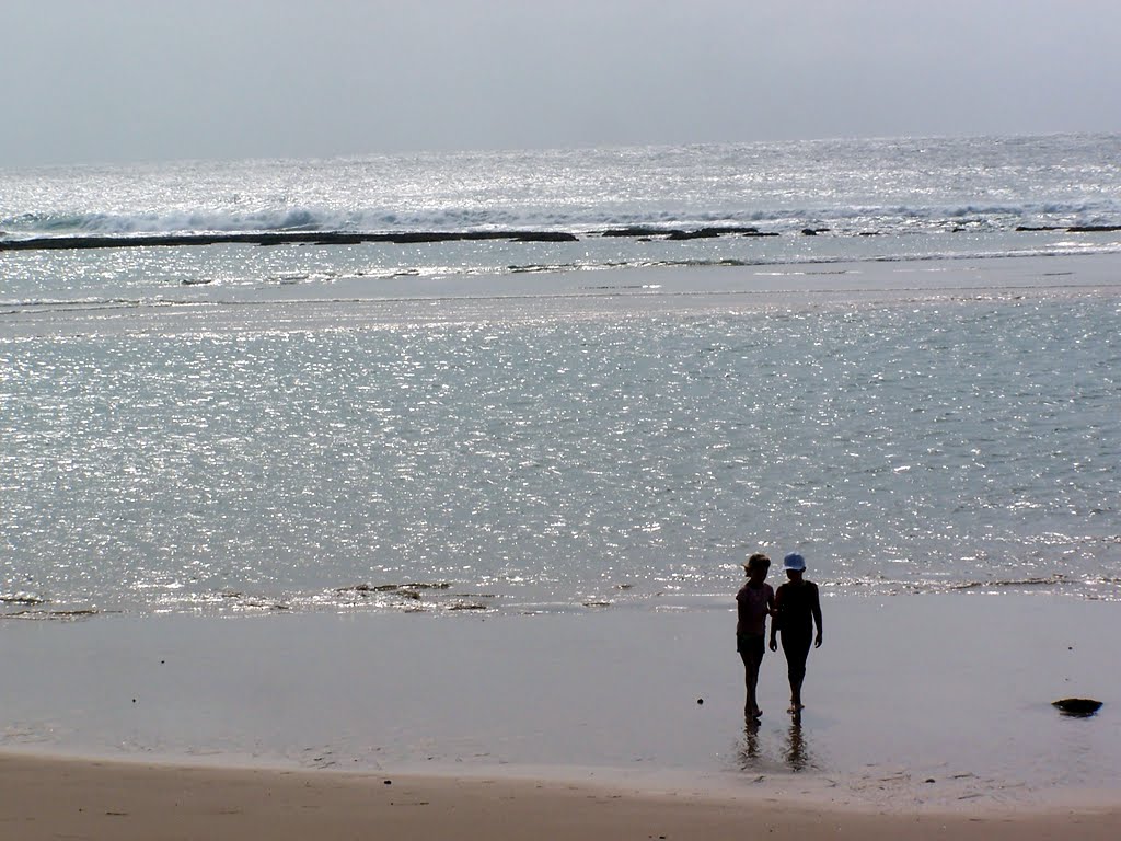
Matutuíne,_Maputo,_Moçambique_-_2010-03-31_-_34201079.jpg
Size of this preview:
800 × 600 pixels
.
Other resolutions:
320 × 240 pixels
|
640 × 480 pixels
|
1,024 × 768 pixels
.
Summary
| Description | Perfect day |
| Date | |
| Source | Perfect day |
| Author | Hendrik van den Berg |
| Camera location |
|
View this and other nearby images on: OpenStreetMap |
|
|---|
Licensing
This file is licensed under the
Creative Commons
Attribution 3.0 Unported
license.
-
You are free:
- to share – to copy, distribute and transmit the work
- to remix – to adapt the work
-
Under the following conditions:
- attribution – You must give appropriate credit, provide a link to the license, and indicate if changes were made. You may do so in any reasonable manner, but not in any way that suggests the licensor endorses you or your use.
|
|
This image, which was originally posted to Panoramio , was reviewed on 4 February 2014 by the administrator or trusted user P199 , who confirmed that it was available on Panoramio under the above license on that date. |