Mayurbhanj_Midnapore_border_1776.jpg

Size of this preview:
800 × 600 pixels
.
Other resolutions:
320 × 240 pixels
|
640 × 480 pixels
|
1,024 × 768 pixels
|
1,280 × 960 pixels
|
2,560 × 1,920 pixels
|
3,028 × 2,271 pixels
.
Summary
| Description |
English:
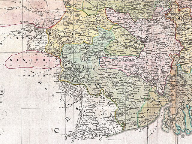
A cropped map of James Rennell's Bengal and Bihar showing 1776 Orissa (Mayurbhanj) and Bengal border.
|
| Date | |
| Source | An actual survey of the province Bengal, Bihar & c. |
| Author | James Rennell |
| Other versions |

Licensing
|
|
This work is in the public domain in its country of origin and other countries and areas where the copyright term is the author's life plus 100 years or fewer . This work is in the public domain in the United States because it was published (or registered with the U.S. Copyright Office ) before January 1, 1929. |
| This file has been identified as being free of known restrictions under copyright law, including all related and neighboring rights. | |