Mexico_states_map_small.png
No higher resolution available.

|
This
locator map
image could be re-created
using
vector graphics
as an
SVG
file
. This has several advantages; see
Commons:Media for cleanup
for more information. If an SVG form of this image is available, please upload it and afterwards replace this template with
{{

vector version available

|

new image name

}}
.
It is recommended to name the SVG file “Mexico states map small.svg”—then the template Vector version available (or Vva ) does not need the new image name parameter. |
Summary
| Description |
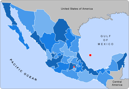
English:
Small map of Mexico in use in the clickable map in various Wikipedias
|
| Source | Alex Covarrubias |
| Author | AlexCovarrubias |
Licensing
|
|
This work has been released into the
public domain
by its author,
AlexCovarrubias
at
English Wikipedia
. This applies worldwide.
In some countries this may not be legally possible; if so: AlexCovarrubias grants anyone the right to use this work for any purpose , without any conditions, unless such conditions are required by law. |
Original upload log
The original description page was
here
. All following user names refer to en.wikipedia.
- 2007-09-28 04:55 AlexCovarrubias 450×312× (74224 bytes) Changed border color (same used by Wikipedia thumbs)
- 2007-09-28 04:52 AlexCovarrubias 450×312× (73917 bytes) Rounded borders
- 2007-03-16 17:35 AlexCovarrubias 450×312× (65230 bytes)
- 2007-03-16 17:28 AlexCovarrubias 450×312× (69110 bytes) == Summary == Political division of Mexico. Map created for the [[Template:Mexico Labelled Map small]]. Designed by [[User:AlexCovarrubias|Alex Covarrubias]] == Licensing == {{PD-self}}