MichiganCounties.svg

Size of this PNG preview of this SVG file:
529 × 599 pixels
.
Other resolutions:
212 × 240 pixels
|
424 × 480 pixels
|
678 × 768 pixels
|
904 × 1,024 pixels
|
1,808 × 2,048 pixels
|
535 × 606 pixels
.
| Description |
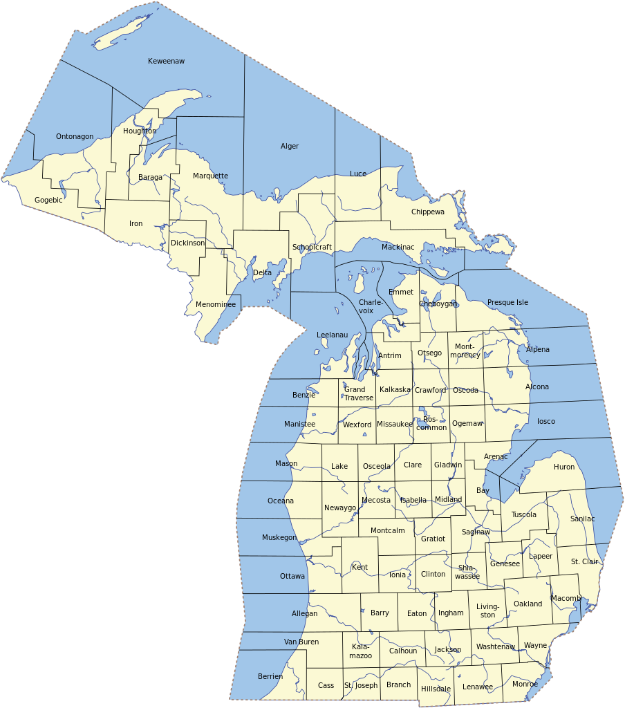
English:
Map of Michigan's counties
|
| Date | 16 July 2008 (original upload date) |
| Source |
Self-made
Transferred from en.wikipedia to Commons by Werewombat . |
| Author | Phizzy ( talk ) at en.wikipedia |
Licensing
Phizzy
at the
English Wikipedia
, the copyright holder of this work, hereby publishes it under the following license:

|
Permission is granted to copy, distribute and/or modify this document under the terms of the GNU Free Documentation License , Version 1.2 or any later version published by the Free Software Foundation ; with no Invariant Sections, no Front-Cover Texts, and no Back-Cover Texts. A copy of the license is included in the section entitled GNU Free Documentation License . |
|
|
This file is licensed under the Creative Commons Attribution-Share Alike 3.0 Unported license. | |
| Attribution: Phizzy at the English Wikipedia | ||
|
||
| This licensing tag was added to this file as part of the GFDL licensing update . |
Original upload log
The original description page was
here
. All following user names refer to en.wikipedia.
- 2008-07-16 13:41 Phizzy 535×606×??? (115213 bytes)
- 17:35, 16 July 2008 535×606 (111 KB) Phizzy
- 03:53, 22 May 2008 535×606 (113 KB) Phizzy ({{Information |Description=Map of Michigan's counties |Source=self-made |Date= |Author=~~~ |other_versions= }})