Permission
(
Reusing this file
)
|
Summary:
In using this image or any subsequent derivatives of it, you are required to release the image under the same license. As such, any reproduction of this image, in any medium, must appear with a copy of, or full URL of the license.
Attribution of this image to the author (Muhammad Mahdi Karim) is required in a prominent location near to the image.
No other conditions may be added to, or removed from this license without the permission of the author and copyright holder.
I, the copyright holder of this work, hereby publish it under the following license:

|
Permission is granted to copy, distribute and/or modify this document under the terms of the
GNU Free Documentation License
, Version 1.2 or any later version published by the
Free Software Foundation
; with no Invariant Sections, no Front-Cover Texts, and no Back-Cover Texts. A copy of the license is included in the section entitled
GNU Free Documentation License
.
http://www.gnu.org/copyleft/fdl.html
GFDL
GNU Free Documentation License
true
true
|
|
|
|
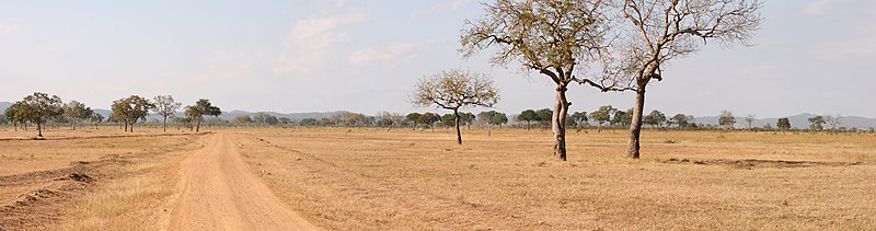
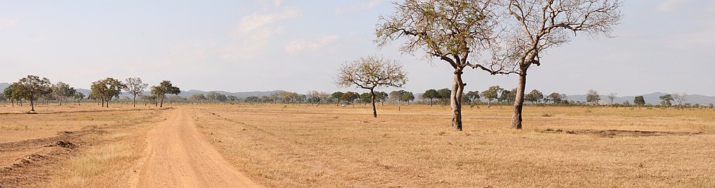
Taken by
Muhammad Mahdi Karim
|
If you use my picture please let me know on my
talk page
. For any other concerns, such as need for a higher resolution version of the image, or a commercial license, contact me through my talk page or
e-mail me
. More images can be found in
my gallery.
|
|
|

