Mobile-River-basin-USGS.gif
No higher resolution available.
Summary
| Description |
Español:
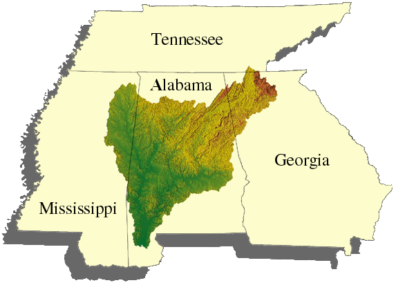
Cuenca del río Mobile.
Norsk bokmål:
Kart over hele nedbørsområdet ovenfor Mobile River.
|
| Source | USGS photo from " http://tn.water.usgs.gov/MOBL/www.gif " prepared by the United States Geological Survey (USGS). |
| Author | USGS |
Licensing
|
|
This image is in the
public domain
in the United States because it only contains materials that originally came from the
United States Geological Survey
, an agency of the
United States Department of the Interior
. For more information, see
the official USGS copyright policy
.
|
|