Mont_Royal.PNG

Size of this preview:
611 × 599 pixels
.
Other resolutions:
245 × 240 pixels
|
489 × 480 pixels
|
783 × 768 pixels
|
1,200 × 1,177 pixels
.
Summary
| Description |
Français :
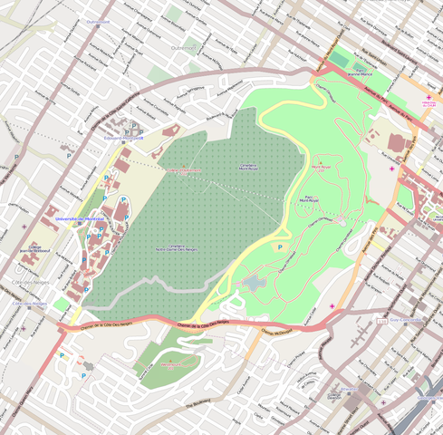
Le site patrimonial du Mont-Royal à Montréal. En couleur vive :
le périmètre du territoire selon le décret
|
||
| Date | |||
| Source | Own work à partir du site OpenStreetMap.com | ||
| Creator |
Jeangagnon
|
||
| Georeferencing | If inappropriate please set warp_status = skip to hide. | ||
| Other versions |
|

Licensing
I, the copyright holder of this work, hereby publish it under the following license:
This file is licensed under the
Creative Commons
Attribution-Share Alike 3.0 Unported
license.
-
You are free:
- to share – to copy, distribute and transmit the work
- to remix – to adapt the work
-
Under the following conditions:
- attribution – You must give appropriate credit, provide a link to the license, and indicate if changes were made. You may do so in any reasonable manner, but not in any way that suggests the licensor endorses you or your use.
- share alike – If you remix, transform, or build upon the material, you must distribute your contributions under the same or compatible license as the original.