Montgomery_Canal_approaching_Llanymynech_-_geograph.org.uk_-_836001.jpg
No higher resolution available.
Summary
| Description |
English:
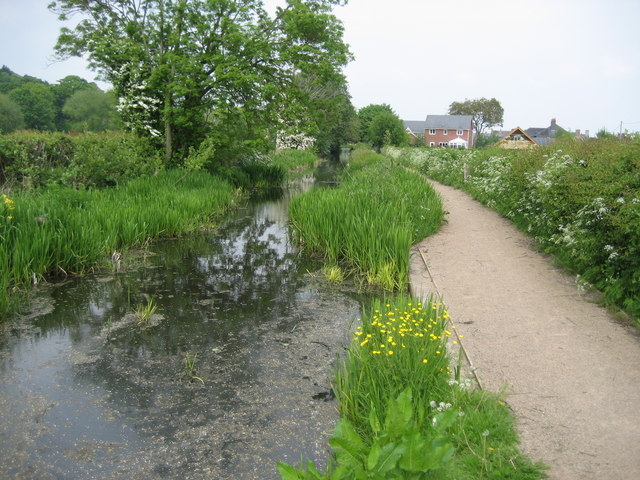
Montgomery Canal approaching Llanymynech. Approaching Llanymynech along the canal towpath from the west, which at this point has been adopted by the Offa's Dyke Path.
|
| Date | |
| Source | From geograph.org.uk |
| Author | Chris Heaton |
|
Attribution
( required by the license ) |
Chris Heaton / Montgomery Canal approaching Llanymynech / |
| Camera location |
|
View this and other nearby images on: OpenStreetMap |
|
|---|
_heading:67.00&language=en)
| Object location |
|
View this and other nearby images on: OpenStreetMap |
|
|---|
_heading:67.00&language=en)
Licensing

|
This image was taken from the
Geograph project
collection. See
this photograph's page
on the Geograph website for the photographer's contact details. The copyright on this image is owned by
Chris Heaton
and is licensed for reuse under the
Creative Commons
Attribution-ShareAlike 2.0 license.
|
This file is licensed under the
Creative Commons
Attribution-Share Alike 2.0 Generic
license.
Attribution:
Chris Heaton
-
You are free:
- to share – to copy, distribute and transmit the work
- to remix – to adapt the work
-
Under the following conditions:
- attribution – You must give appropriate credit, provide a link to the license, and indicate if changes were made. You may do so in any reasonable manner, but not in any way that suggests the licensor endorses you or your use.
- share alike – If you remix, transform, or build upon the material, you must distribute your contributions under the same or compatible license as the original.