Morze_Wattowe.png
No higher resolution available.
Summary
| Description |
Polski:
Mapa Morza Wattowego.
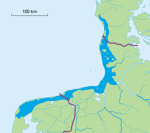
English:
Map of the Wadden Sea.
Nederlands:
Kaart van de Waddenzee.
Deutsch:
Karte des Wattenmeers.
Dansk:
Kort over Vadehavet.
Français :
Carte de la Mer des Wadden.
|
||
| Source | Own work | ||
| Author | Aotearoa | ||
| Other versions |
|

Licensing
I, the copyright holder of this work, hereby publish it under the following licenses:

|
Permission is granted to copy, distribute and/or modify this document under the terms of the GNU Free Documentation License , Version 1.2 or any later version published by the Free Software Foundation ; with no Invariant Sections, no Front-Cover Texts, and no Back-Cover Texts. A copy of the license is included in the section entitled GNU Free Documentation License . |
|
|
This file is licensed under the Creative Commons Attribution-Share Alike 3.0 Unported license. | |
|
||
| This licensing tag was added to this file as part of the GFDL licensing update . |
You may select the license of your choice.