Mount_Wilhelm.jpg

Size of this preview:
800 × 600 pixels
.
Other resolutions:
320 × 240 pixels
|
640 × 480 pixels
|
1,024 × 768 pixels
|
1,280 × 960 pixels
|
1,600 × 1,200 pixels
.
Summary
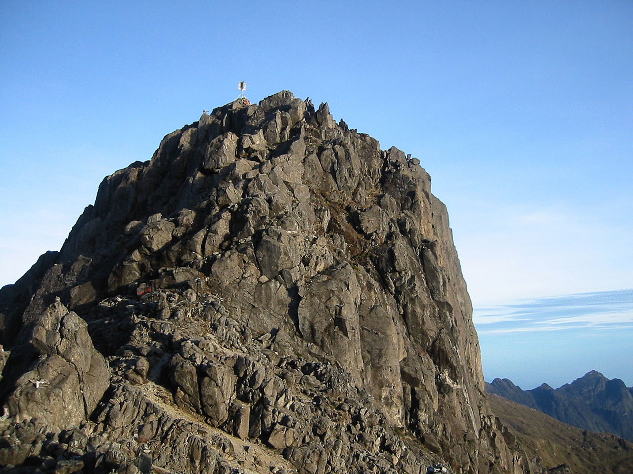
| Description | Mount Wilhelm - highest mountain in Papua New Guinea . Created and released under GFDL by Nomadtales . |
| Date | Taken on 27 March 2005 |
| Source |
Transferred from
en.wikipedia
to Commons.
Own work by the original uploader |
| Author | Nomadtales ( talk · contribs ) |
| Camera location |
|
View this and other nearby images on: OpenStreetMap |
|
|---|
Licensing
This file is licensed under the
Creative Commons
Attribution-Share Alike 2.1 Australia
license.
-
You are free:
- to share – to copy, distribute and transmit the work
- to remix – to adapt the work
-
Under the following conditions:
- attribution – You must give appropriate credit, provide a link to the license, and indicate if changes were made. You may do so in any reasonable manner, but not in any way that suggests the licensor endorses you or your use.
- share alike – If you remix, transform, or build upon the material, you must distribute your contributions under the same or compatible license as the original.

Original upload log
The original description page was
here
. All following user names refer to en.wikipedia.
- 03:11, 19 September 2005 . . Nomadtales (Talk | contribs) . . 300×200 (24,019 bytes) (Mount Wilhelm - highest mountain in Papua New Guinea.)