Municipal_Buildings,_Dumfries.jpg
Size of this preview:
535 × 600 pixels
.
Other resolutions:
214 × 240 pixels
|
428 × 480 pixels
|
717 × 804 pixels
.
Summary
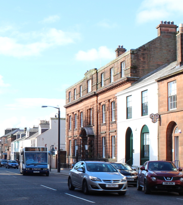
| Description | Municipal Buildings, Dumfries |
| Date | 13 October 2015 |
| Source |
This file was derived from:
Buccleuch Street, Dumfries (geograph 4699106).jpg
|
| Author | Billy McCrorie |
|
Permission
( Reusing this file ) |
This file is licensed under the
Creative Commons
Attribution-Share Alike 2.0 Generic
license.
Attribution:
Billy McCrorie
|
|
Attribution
( required by the license ) |
Billy McCrorie / Buccleuch Street, Dumfries / |
.jpg)
| Camera location |
|
View this and other nearby images on: OpenStreetMap |
|
|---|
_region:GB-GBN_heading:247.00&language=en)
| Object location |
|
View this and other nearby images on: OpenStreetMap |
|
|---|
_region:GB-GBN_heading:247.00&language=en)
|
|
This is a
retouched picture
, which means that it has been digitally altered from its original version. Modifications:
cropped
. The original can be viewed here:
Buccleuch Street, Dumfries (geograph 4699106).jpg
:
|