Münchberger_Senke.jpg
Size of this preview:
800 × 533 pixels
.
Other resolutions:
320 × 213 pixels
|
640 × 427 pixels
|
1,024 × 683 pixels
|
1,280 × 853 pixels
|
2,560 × 1,706 pixels
|
3,611 × 2,407 pixels
.
Summary
| Description |
Deutsch:
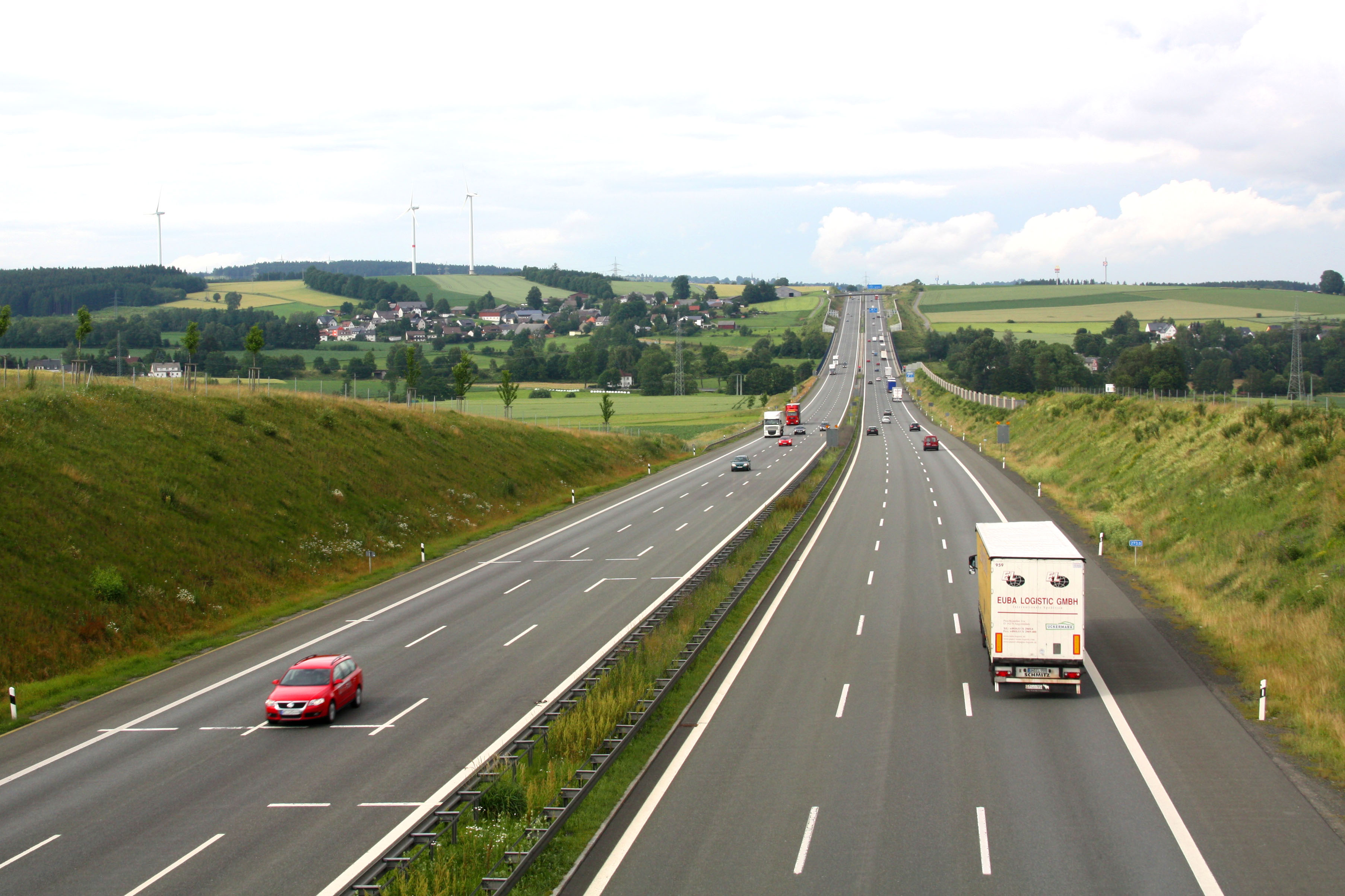
Sicht auf die Münchberger Senke aus Richtung Straas. In der Mitte der Senke die Talbrücke gut zu erkennen. Ausläufer der Stadt Münchberg auf der rechten Seite erkennbar. Links die Ortschaft Gottersdorf mit den Windenergieanlagen.
|
| Date | |
| Source | Own work |
| Author | Iglheaz |
| Camera location |
|
View this and other nearby images on: OpenStreetMap |
|
|---|
Licensing
|
|
I, the copyright holder of this work, release this work into the
public domain
. This applies worldwide.
In some countries this may not be legally possible; if so: I grant anyone the right to use this work for any purpose , without any conditions, unless such conditions are required by law. |