NOAAfisheriesServiceNEregionDemarcation.gif
No higher resolution available.
Summary
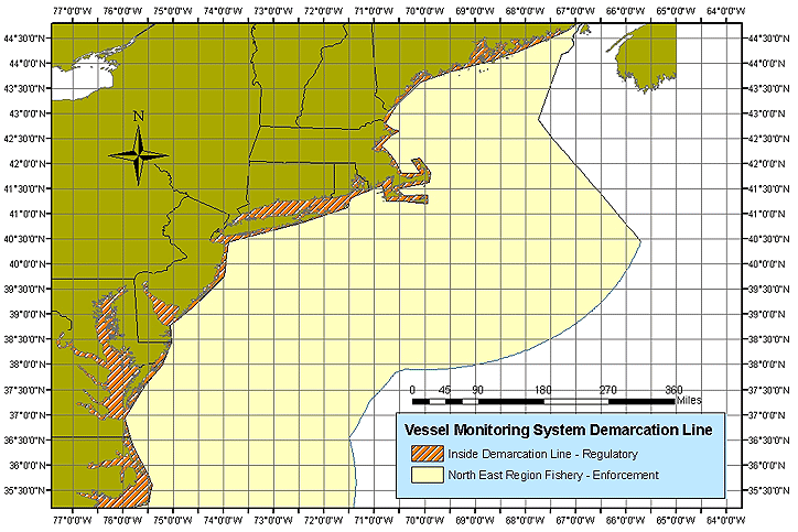
| Description | Northeast Region Fisheries Demarcation Lines |
| Date | |
| Source | http://www.nero.noaa.gov/nero/fishermen/multispecies/gom/VMSDemarcLine.htm |
| Author | US (Government) National Oceanographic and Atmospheric Administration |
Map of Northeast US fisheries where Vessel Management System must be used
Licensing
|
|
This image is in the
public domain
because it contains materials that originally came from the U.S.
National Oceanic and Atmospheric Administration
, taken or made as part of an employee's official duties.
|
|