Nacotchtank_Location_on_John_Smith's_1624_Map_of_Virginia.jpg

Size of this preview:
800 × 355 pixels
.
Other resolutions:
320 × 142 pixels
|
1,029 × 456 pixels
.
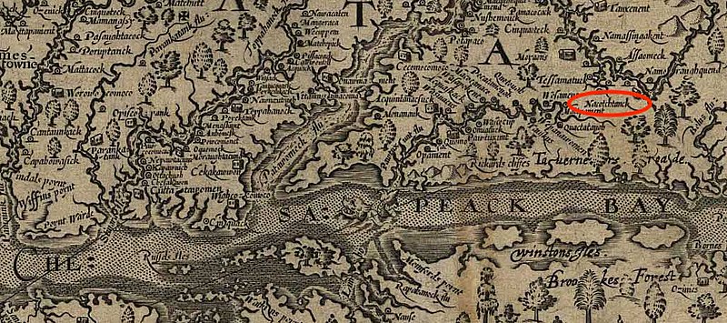
Summary
| Description |
English:
Zoomed in version of John Smith's 1624 Map of Virginia with a red circle to indicate the location of the Nacotchtank tribe, as indicated by Smith.
|
| Date | |
| Source | Own work |
| Author | Peterpietri |
Licensing
|
|
This work is in the
public domain
in the
United States
because it was
published
(or registered with the
U.S. Copyright Office
) before January 1, 1929.
|