NavassaCoastAerialUSGS.jpg

Size of this preview:
800 × 525 pixels
.
Other resolutions:
320 × 210 pixels
|
640 × 420 pixels
|
1,024 × 672 pixels
|
1,280 × 841 pixels
|
1,800 × 1,182 pixels
.
Summary
| Description |
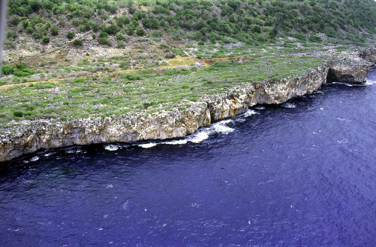
Deutsch:
Luftaufnahme der Südwestküste von Navassa, Karibisches Meer
English:
Aerial photo of the southwest coast of
Navassa Island
in the Caribbean Sea
|
| Date | not specified |
| Source | http://coastal.er.usgs.gov/navassa/ |
| Author | USGS |
Licensing
|
|
This image is in the
public domain
in the United States because it only contains materials that originally came from the
United States Geological Survey
, an agency of the
United States Department of the Interior
. For more information, see
the official USGS copyright policy
.
|
|
Original upload log
(All user names refer to en.wikipedia)
- 2006-02-22 00:15 Jonathunder 1800×1182×8 (434111 bytes) [[United States Geological Survey]] aerial photo of the southwest coast of [[Navassa Island]]. Source: http://coastal.er.usgs.gov/navassa/