Nfldmap.gif
No higher resolution available.
Summary
| Description |
English:
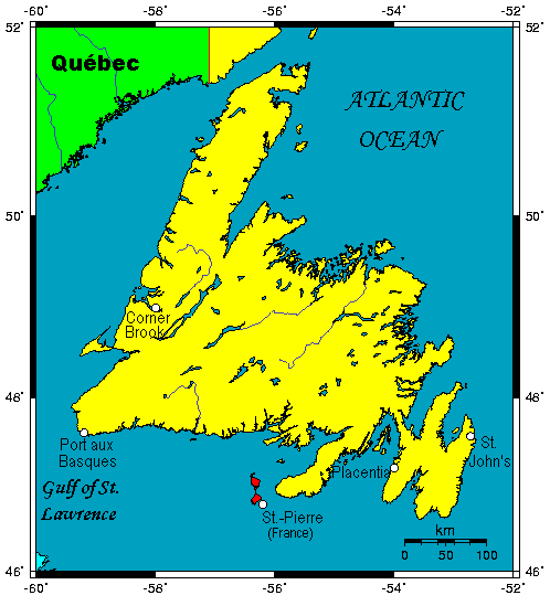
A map showing the Island of Newfoundland in the Canadian province of Newfoundland and Labrador.
|
| Date | |
| Source | This map's source is here , with the uploader's modifications, and the GMT homepage says that the tools are released under the GNU General Public License. |
| Author | Kelisi at en.wikipedia |
Licensing
Kelisi
at the
English-language Wikipedia
, the copyright holder of this work, hereby publishes it under the following license:
|
|
This file is licensed under the Creative Commons Attribution-Share Alike 3.0 Unported license. Subject to disclaimers . | |
| Attribution: Kelisi at the English-language Wikipedia | ||
|
||
| This licensing tag was added to this file as part of the GFDL licensing update . |

|
Permission is granted to copy, distribute and/or modify this document under the terms of the GNU Free Documentation License , Version 1.2 or any later version published by the Free Software Foundation ; with no Invariant Sections, no Front-Cover Texts, and no Back-Cover Texts. A copy of the license is included in the section entitled GNU Free Documentation License . Subject to disclaimers . |
Original upload log
All following user names refer to en.wikipedia.
- 2005-02-26 02:10 Kelisi 498×549× (15 KB) (Island of Newfoundland in the Canadian province of Newfoundland and Labrador. Map created at Online Map Creation -- may be considered PD.)