Ngongping360_sameboat.png
No higher resolution available.
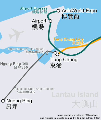
| Description | Route map focusing on Hong Kong cable car Ngong Ping 360 and the nearby railway system, in geographically accurate scale. | ||
| Date | |||
| Source | Cropped and revised from image:Hong Kong Railway Route Map en.svg | ||
| Author | user:Sameboat | ||
|
Permission
( Reusing this file ) |
|
||
| Other versions | Image:Ngongping360 map.png & Image:NgongPing360 map.jpg |