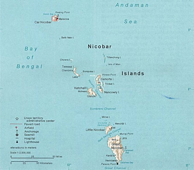
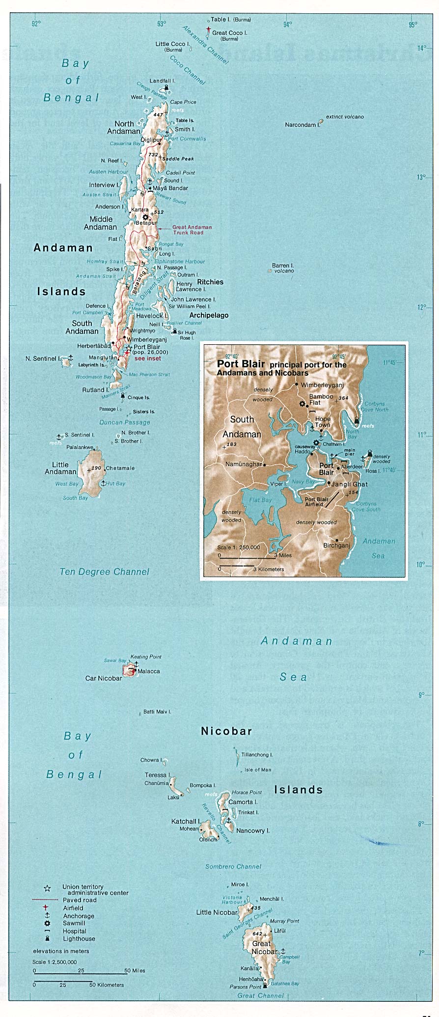
Nicobar_Islands.jpg
No higher resolution available.
Summary
| Description |
Deutsch:
Karte der Inselgruppe der Nikobaren im Indischen Ozean
English:
Map of the Nicobar Island in the Indian Ocean
Français :
Carte d’îles Nicobar dans l’océan Indien
|
| Date | |
| Source | http://www.lib.utexas.edu/maps/islands_oceans_poles/andaman_nicobar_76.jpg |
| Author | Taken from Perry-Castañeda Library (PCL), originally from CIA Indian Ocean Atlas |
| Other versions |
Licensing
|
|
This image is a work of a
Central Intelligence Agency
employee, taken or made as part of that person's official duties. As a Work of the United States Government, this image or media is in the
public domain
in the United States.
|

|