Ninnescah_River_near_Murdock_Kansas.JPG

Size of this preview:
800 × 600 pixels
.
Other resolutions:
320 × 240 pixels
|
640 × 480 pixels
|
1,024 × 768 pixels
.
Summary
| Description |
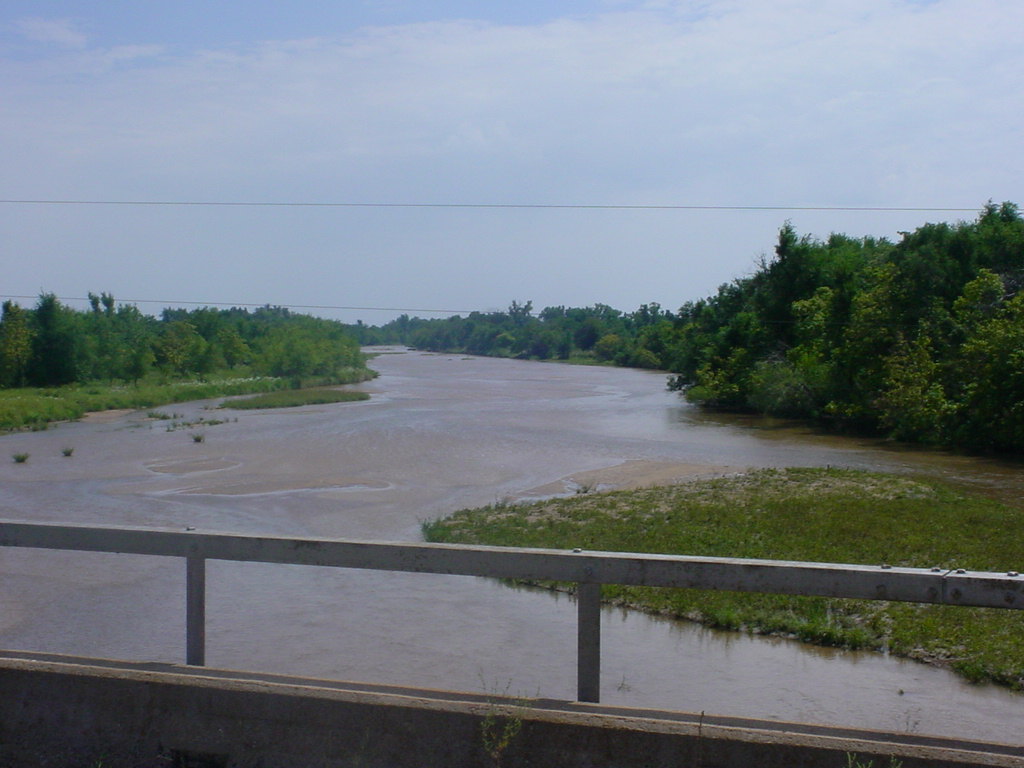
English:
The
w:Ninnescah River
as viewed to the south from SE 60th Street, south of
w:Murdock, Kansas
.
|
| Date | |
| Source | http://water.weather.gov/ahps2/hydrograph.php?wfo=ict&gage=mdkk1 (file is http://water.weather.gov/ahps2/images/hydrograph_photos/mdkk1/mdkk1_uslksouth_0806.JPG ) |
| Author | United States National Weather Service |
| Camera location |
|
View this and other nearby images on: OpenStreetMap |
|
|---|
Licensing
|
|
This image is in the
public domain
because it was stored on the web servers of the U.S.
National Weather Service
. NWS-created images are automatically public domain in the U.S. since the NWS is a part of the U.S. government. However, the NWS sites also host non-NWS images which have been submitted by individuals: these are generally shown as "
Courtesy of ...
". Such images have explicitly been released to the public domain by the copyright owner as part of the upload process.
As stated at https://www.weather.gov/fsd/disclaimer : "By submitting images, you understand that your image is being released into the public domain. This means that your photo or video may be downloaded, copied, and used by others."
Thus, all
*
images on NWS servers are public domain (including "Courtesy of ..." and “Photo by ...” images) unless specifically stated otherwise through a copyright (©) watermark.
*A
deletion discussion
in November 2023 ruled that
Getty Images
on the web servers of NWS, are to be considered copyrighted, even without a copyright (©) watermark and are the
sole exception
to this rule.
|
|