Northern_Michigan_and_Lake_Superior.jpg
Size of this preview:
800 × 558 pixels
.
Other resolutions:
320 × 223 pixels
|
640 × 447 pixels
|
1,024 × 715 pixels
|
1,280 × 893 pixels
|
2,560 × 1,787 pixels
|
4,636 × 3,236 pixels
.
Summary
| Description |
English:
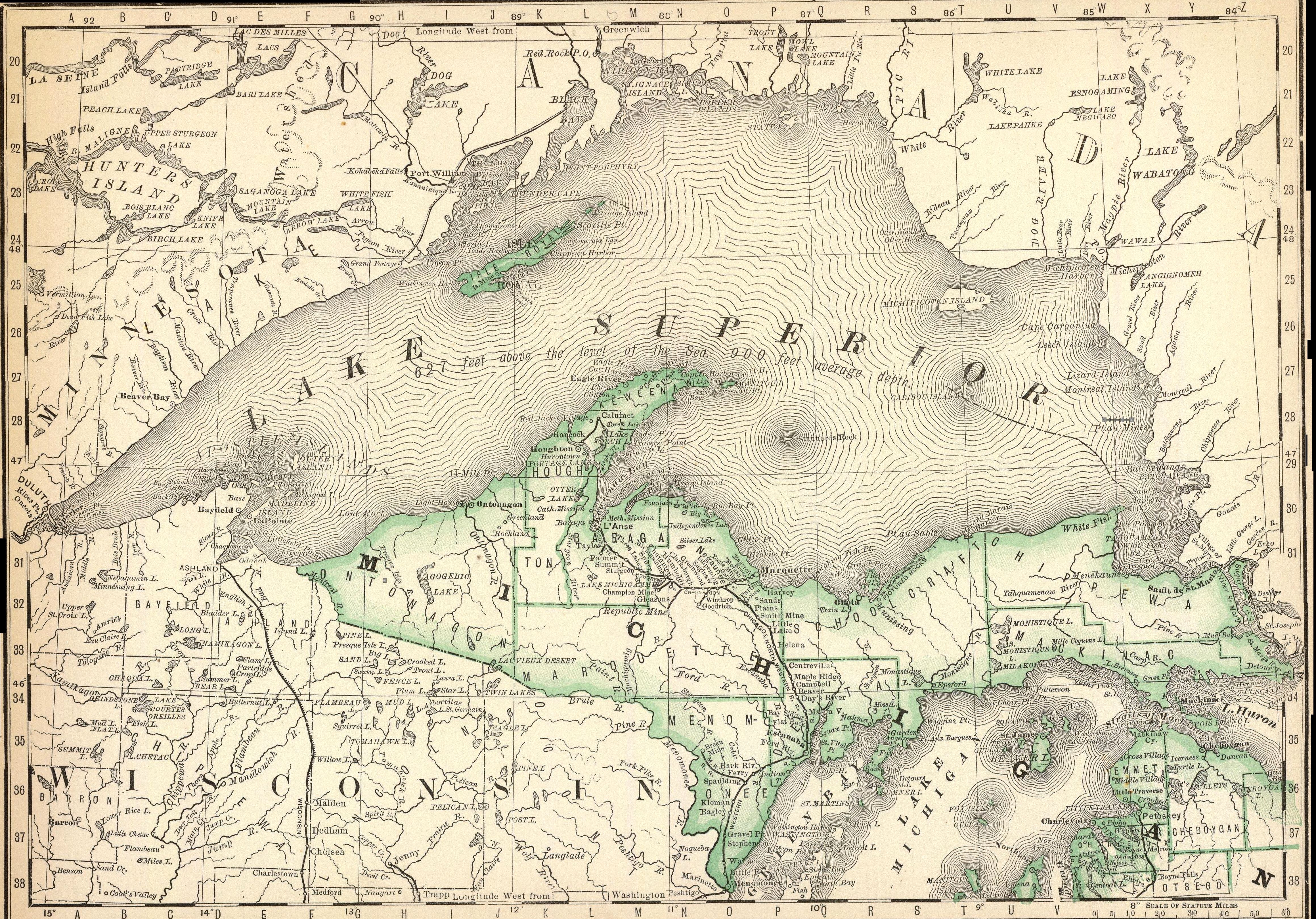
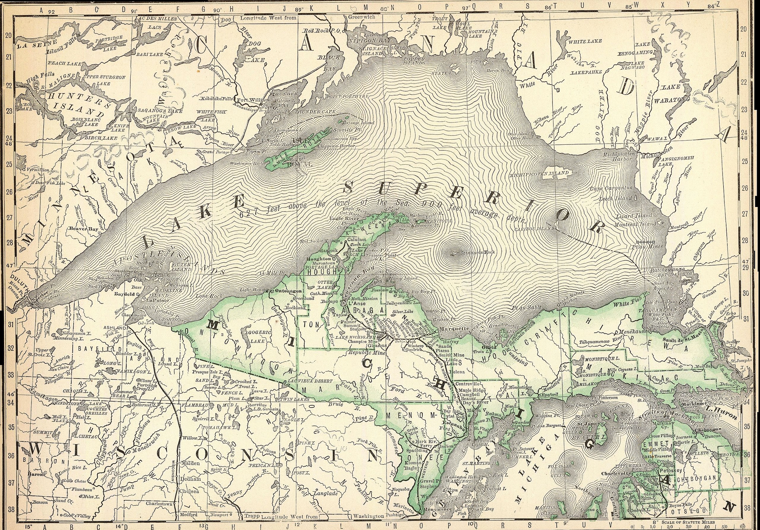
Rand McNally and Company map of Northern Michigan and Lake Superior, Published 1879
|
|||||||||
| Date | ||||||||||
| Source | https://www.amazon.com/National-Northern-Michigan-Superior-Historic/dp/B077TKRM3X | |||||||||
| Creator |
Rand McNally and Company, Atlas, 1879
|
|||||||||
| Geotemporal data | ||||||||||
| Bounding box |
|
|||||||||
| Georeferencing | ||||||||||
Licensing
|
|
This work is in the
public domain
in the
United States
because it was
published
(or registered with the
U.S. Copyright Office
) before January 1, 1929.
Public domain works must be out of copyright in both the United States and in the source country of the work in order to be hosted on the Commons. If the work is not a U.S. work, the file
must
have an additional
copyright tag
indicating the copyright status in the source country.
Note: This tag should not be used for sound recordings. |