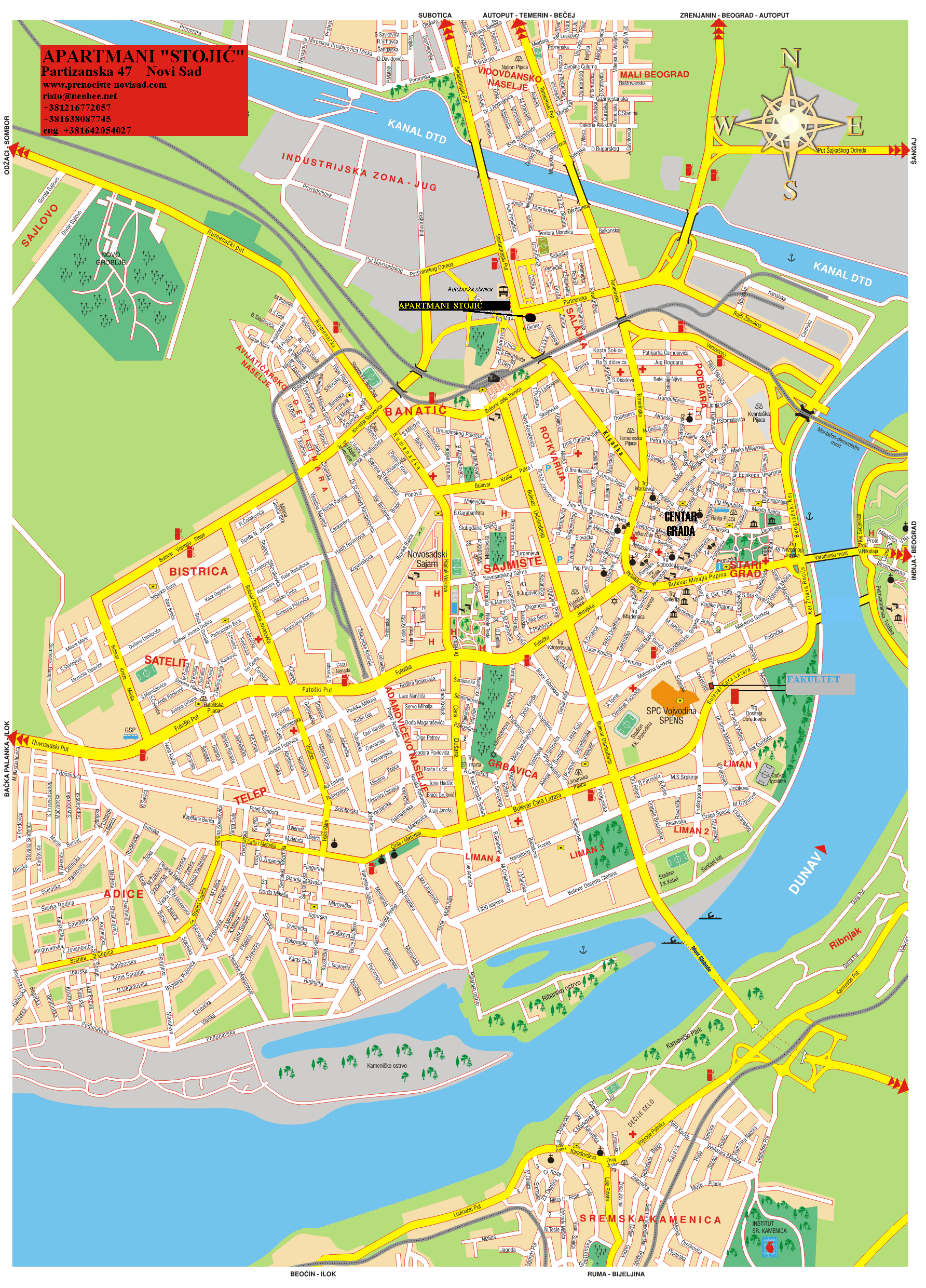
Novi_sad_quarters.png

Size of this preview:
494 × 600 pixels
.
Other resolutions:
198 × 240 pixels
|
395 × 480 pixels
|
633 × 768 pixels
|
843 × 1,024 pixels
|
1,800 × 2,185 pixels
.
Summary
| Description |
English:
Map of the urban area of Novi Sad with city quarters.
Српски / srpski:
Мапа урбаног подручја Новог Сада са градским четвртима.
|
| Date | |
| Source | en:Image:Novi sad quarters.png |
| Author | original author and uploader was PANONIAN at English Wikipedia. File was moved from English Wikipedia to Wikimedia Commons by User:Kosovac1389. |
|
Permission
( Reusing this file ) |
File history: (current) 16:54, 20 December 2005 PANONIAN (Talk | contribs) 1800×2061 1.02 MB |
References
Published references:
- Jovan Mirosavljević, Brevijar ulica Novog Sada 1745-2001, Novi Sad, 2002.
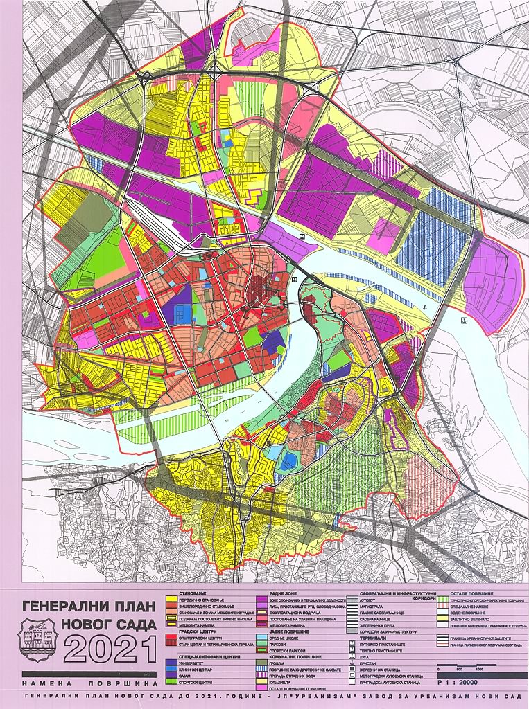
- Generalni urbanistički plan Novog Sada do 2005. godine - predlog, Skupština Grada Novog Sada, Novi Sad, maj 1985. godine.
- Jovan Mirosavljević, Novi Sad - atlas ulica, Novi Sad, 1998.
- Zoran Rapajić, Novi Sad bez tajni, Beograd, 2002.
- Milorad Grujić, Vodič kroz Novi Sad i okolinu, Novi Sad, 2004.
Internet references:
- http://www.nsurbanizam.rs/pages/util/link.htm archive copy at the Wayback Machine
- http://www.bgnekretnine.net/img/mapa-novi-sad.gif
- http://www.goldenhat.co.rs/images/misc/gup.jpg
Licensing
self made map by user:PANONIAN
|
|
This work has been released into the
public domain
by its author,
PANONIAN
. This applies worldwide.
In some countries this may not be legally possible; if so:
|