Nurdağı_-_panoramio.jpg

Size of this preview:
800 × 600 pixels
.
Other resolutions:
320 × 240 pixels
|
640 × 480 pixels
|
1,024 × 768 pixels
|
1,280 × 960 pixels
|
2,560 × 1,920 pixels
|
4,288 × 3,216 pixels
.
Summary
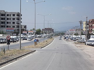
| Description | Nurdağı | ||
| Date | Taken on 10 July 2011 | ||
| Source | https://web.archive.org/web/20161023181343/http://www.panoramio.com/photo/56025951 | ||
| Author | Hüseyin Öcal | ||
|
Permission
( Reusing this file ) |
This file is licensed under the
Creative Commons
Attribution 3.0 Unported
license.
Attribution:
Hüseyin Öcal
|
||
|
Tags
(from Panoramio photo page) |
Nurdağı
,
Gaziantep
|
| Camera location |
|
View this and other nearby images on: OpenStreetMap |
|
|---|

|
The categories of this image need checking. You can do so
here
.
|