Oak_Ridge_National_Laboratory_Aerial_View.jpg
Size of this preview:
800 × 360 pixels
.
Other resolutions:
320 × 144 pixels
|
640 × 288 pixels
|
1,653 × 743 pixels
.
Summary
| Description |
English:
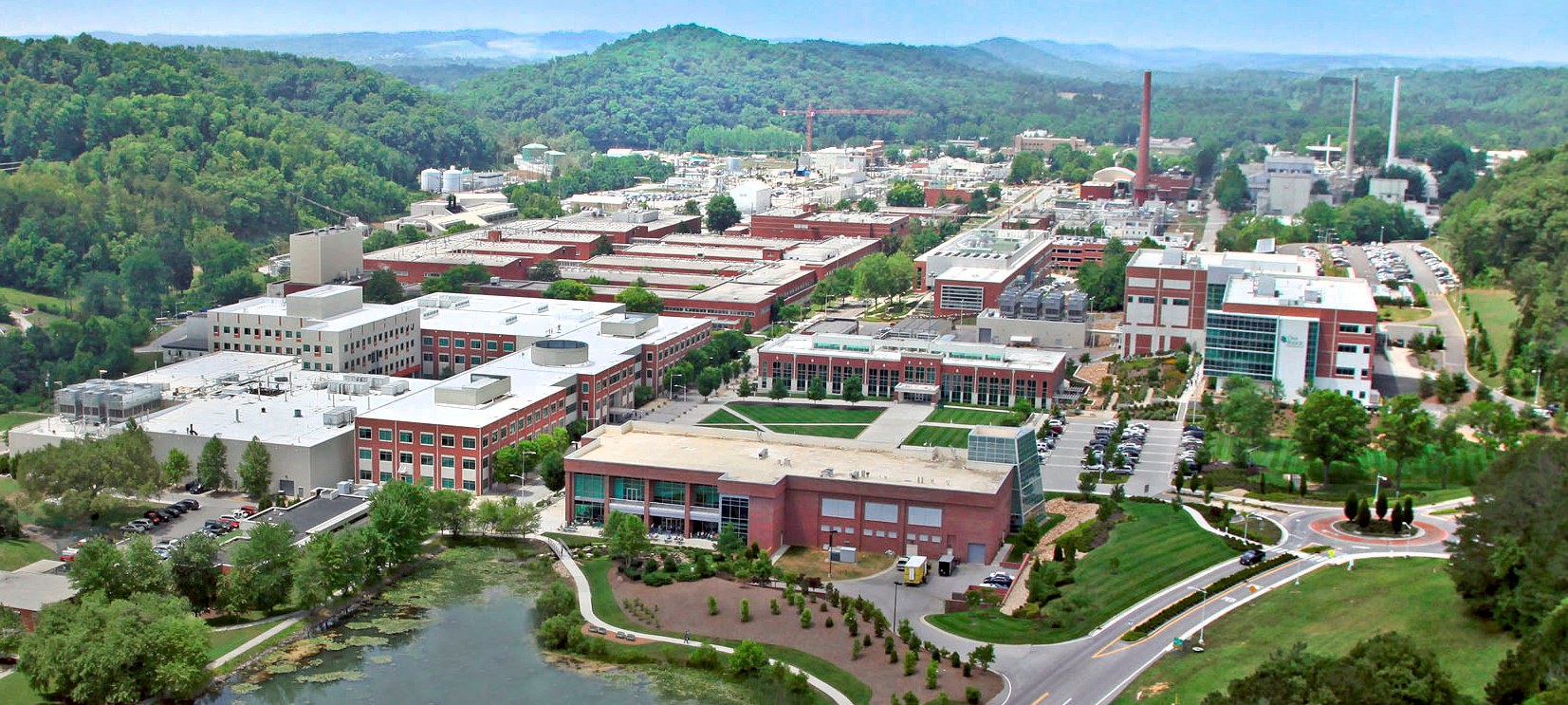
An aerial view of the Oak Ridge National Laboratory campus (taken at unknown date)
|
|||
| Date | ||||
| Source | http://energy.gov/orem/cleanup-sites/oak-ridge-national-laboratory | |||
| Author | Oak Ridge Office of Environmental Management, U.S. Department of Energy | |||
|
Permission
( Reusing this file ) |
|
| Camera location |
|
View this and other nearby images on: OpenStreetMap |
|
|---|
Licensing
|
|
This image is a work of a
United States Department of Energy
(or predecessor organization) employee, taken or made as part of that person's official duties. As a
work
of the
U.S. federal government
, the image is in the
public domain
.
Please note that national laboratories operate under varying licences and some are not free . Check the site policies of any national lab before crediting it with this tag.
|

|