Oga_Peninsula_and_Hachirogata_Akita_Japan_SRTM.jpg

Size of this preview:
608 × 600 pixels
.
Other resolutions:
243 × 240 pixels
|
486 × 480 pixels
|
681 × 672 pixels
.
Summary
| Description |
English:
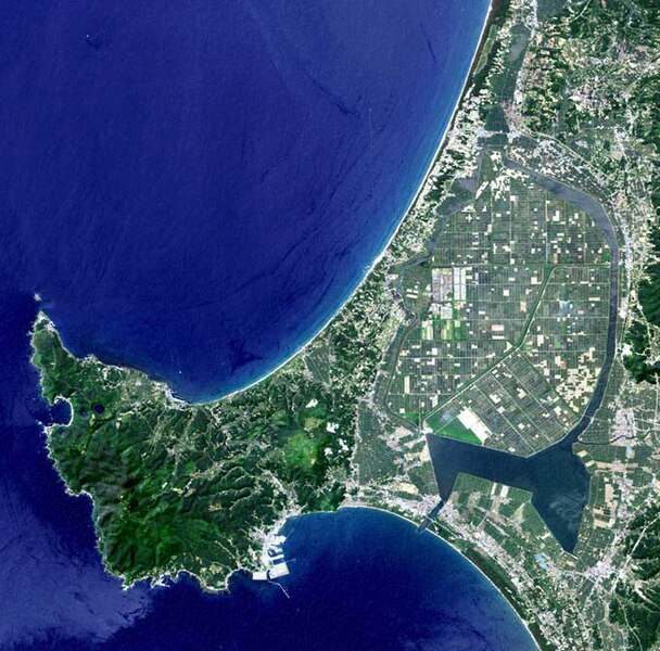
Oga Peninsula, Akita, Japan. Hachirōgata is the flat farmland surrounded by water near the base of the peninsula.
|
| Date | |
| Source | image with high-resolution data from Space Shuttle. |
| Author | user:っ |
| Other versions |
|

Licensing
|
|
This image uses high-resolution digital topography data from NASA's
Shuttle Radar Topography Mission (SRTM)
at JPL-Caltech
[1]
. It is in the
public domain
in the United States.
|

|