Ok-99_path.png
Size of this preview:
800 × 469 pixels
.
Other resolutions:
320 × 188 pixels
|
640 × 375 pixels
|
1,024 × 600 pixels
|
1,280 × 750 pixels
|
3,425 × 2,007 pixels
.
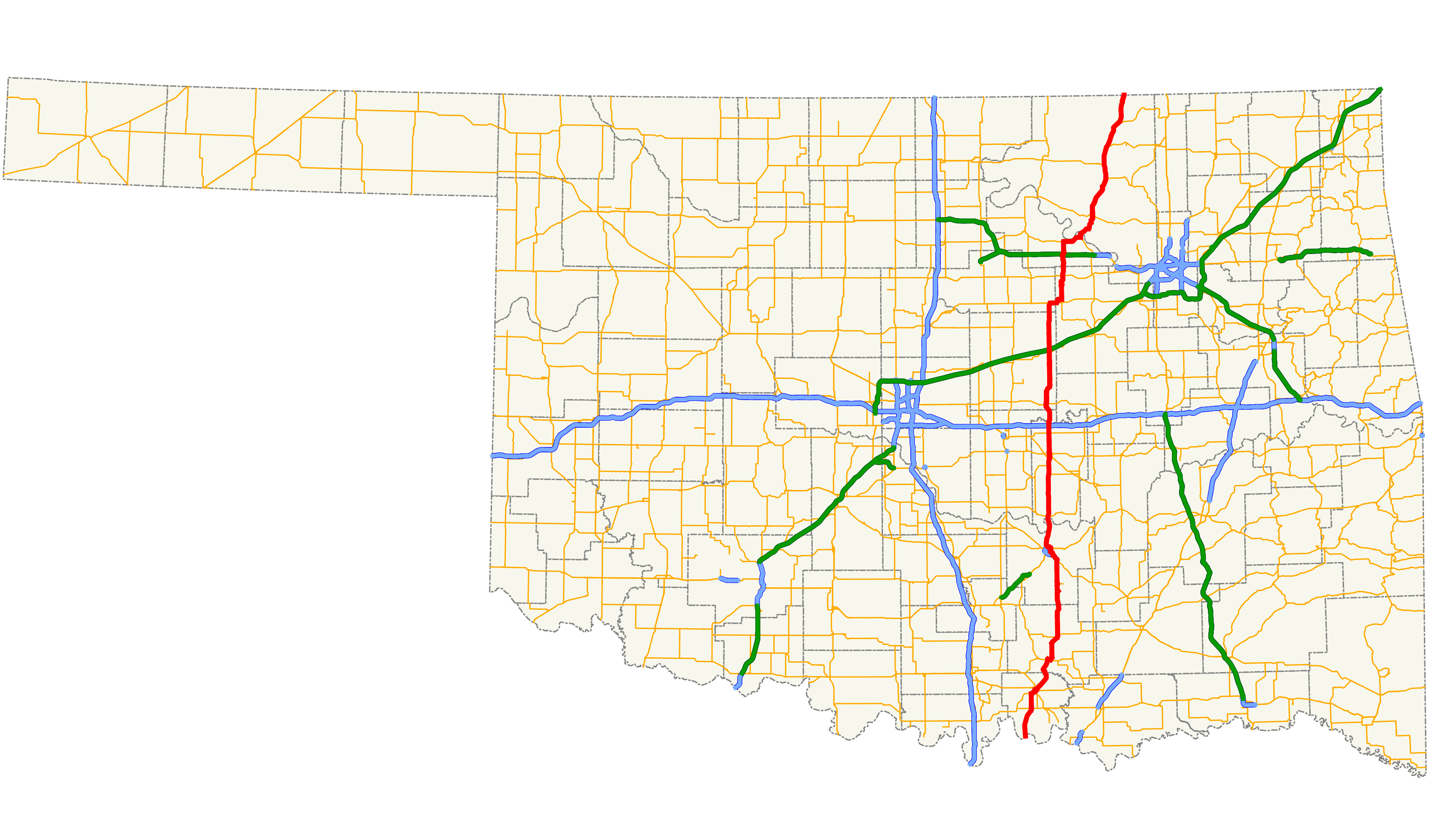
| Description |
English:
Map of
State Highway 99
in Oklahoma.
|
| Date | |
| Source | Created by uploader in QGIS using ODOT data. |
| Author | Scott Nazelrod |
|
Permission
( Reusing this file ) |
Public domain, credit appreciated but not required |
|
|
I, the copyright holder of this work, release this work into the
public domain
. This applies worldwide.
In some countries this may not be legally possible; if so: I grant anyone the right to use this work for any purpose , without any conditions, unless such conditions are required by law. |