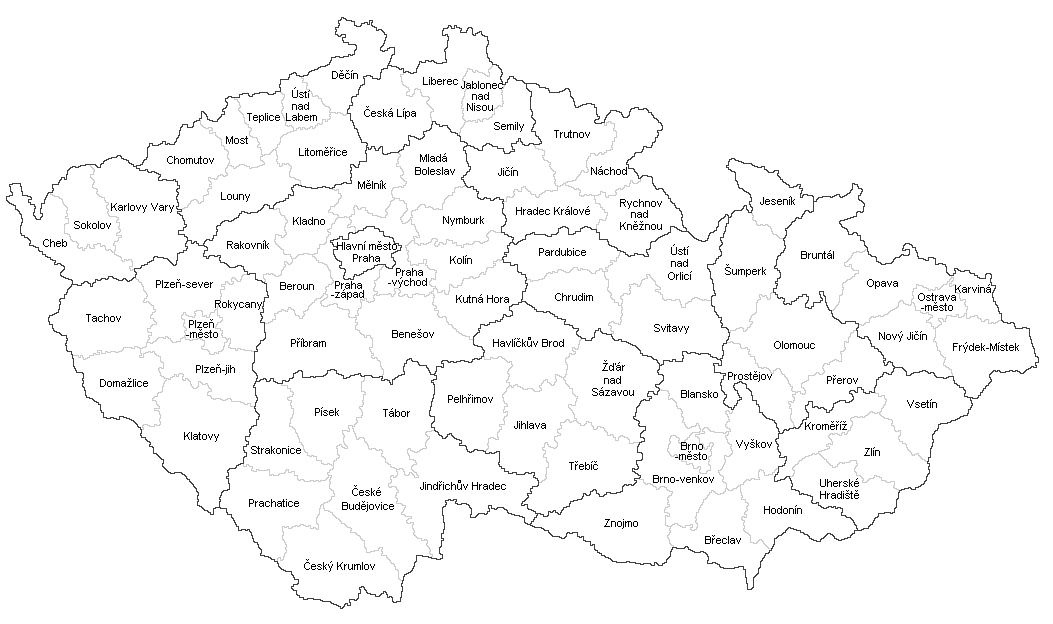
Okresy_ČR_2007.PNG
Size of this preview:
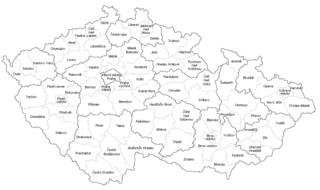
800 × 474 pixels
.
Other resolutions:
320 × 190 pixels
|
640 × 379 pixels
|
1,053 × 624 pixels
.

|
This
locator map
image could be re-created
using
vector graphics
as an
SVG
file
. This has several advantages; see
Commons:Media for cleanup
for more information. If an SVG form of this image is available, please upload it and afterwards replace this template with
{{

vector version available

|

new image name

}}
.
It is recommended to name the SVG file “Okresy ČR 2007.svg”—then the template Vector version available (or Vva ) does not need the new image name parameter. |
Summary
| Description |
Čeština:
Okresy v České republice v samosprávných krajích (ústavní zákon č. 347/1997 Sb.) s hranicemi platnými od 1. ledna 2007.
English:
Czech districts in autonomous regions (constitutional Law No. 347/1997 Coll.) with current borders since January 1, 2007.
|
| Date | |
| Source | Own work |
| Author | Mapového náložník |
| Other versions |
|
Licensing
|
|
I, the copyright holder of this work, release this work into the
public domain
. This applies worldwide.
In some countries this may not be legally possible; if so: I grant anyone the right to use this work for any purpose , without any conditions, unless such conditions are required by law. |