Old_buildings,_Wantage_Market_Place_-_geograph.org.uk_-_1321063_(cropped).jpg
No higher resolution available.
Summary
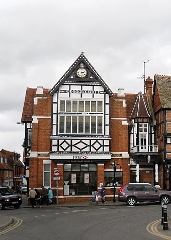
| Description | Old Town Hall, Wantage |
| Date | |
| Source |
This file was derived from:
Old buildings, Wantage Market Place - geograph.org.uk - 1321063.jpg
|
| Author | Rose and Trev Clough |
|
Permission
( Reusing this file ) |
This file is licensed under the
Creative Commons
Attribution-Share Alike 2.0 Generic
license.
Attribution:
Rose and Trev Clough
|
| Camera location |
|
View this and other nearby images on: OpenStreetMap |
|
|---|
.jpg¶ms=051.588780_N_-001.426800_E_globe:Earth_type:camera_source:geograph-osgb36(SU39808792)_region:GB-ENG_heading:67.00&language=en)
| Object location |
|
View this and other nearby images on: OpenStreetMap |
|
|---|
.jpg¶ms=051.588870_N_-001.426500_E_globe:Earth_class:object_type:object_source:geograph-osgb36(SU39828793)_region:GB-ENG_heading:67.00&language=en)
|
|
This is a
retouched picture
, which means that it has been digitally altered from its original version. Modifications:
cropped
. The original can be viewed here:
Old buildings, Wantage Market Place - geograph.org.uk - 1321063.jpg
:
|