Operational_Navigation_Chart_A-5,_3rd_edition.jpg

Size of this preview:
800 × 572 pixels
.
Other resolutions:
320 × 229 pixels
|
640 × 457 pixels
|
1,024 × 732 pixels
|
1,280 × 915 pixels
|
2,560 × 1,829 pixels
|
9,254 × 6,613 pixels
.
Summary
| Description |
English:
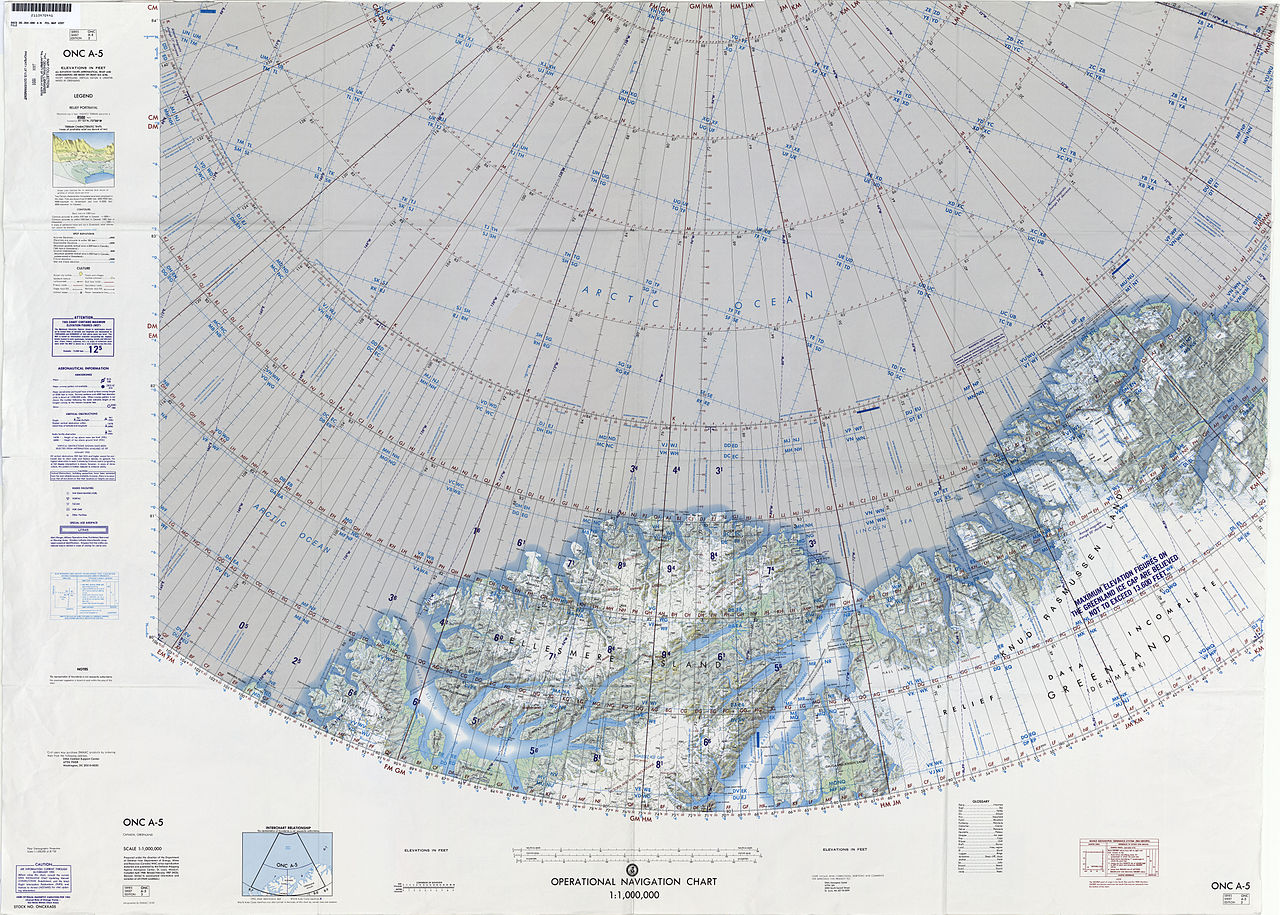
1:1,000,000 scale Operational Navigation Chart, Sheet A-5, 3nd edition.
|
| Date | |
| Source | |
| Author | Defense Mapping Agency Aerospace Center, St. Louis, Mo. |
Covers 80N to 88N, 106W to 36W.
-
 Index Map

Licensing
|
|
This work is from the Library of Congress . According to the library, there are no known copyright restrictions on the use of this work. |

|