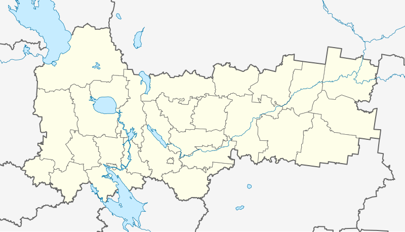
Outline_Map_of_Vologda_Oblast.svg

Size of this PNG preview of this SVG file:
800 × 457 pixels
.
Other resolutions:
320 × 183 pixels
|
640 × 365 pixels
|
1,024 × 585 pixels
|
1,280 × 731 pixels
|
2,560 × 1,462 pixels
|
1,000 × 571 pixels
.
Summary
| Description |
Русский:
Позиционная карта Вологодской области
Равноугольная проекция. Координаты краёв:
|
| Date | |
| Source |
Own work
This
W3C-unspecified
vector image
was created with
Inkscape
.
|
| Author | Виктор В |
| Other versions |
Derivative works of this file: Wologda numbered.png
|


Licensing
|
|
I, the copyright holder of this work, release this work into the
public domain
. This applies worldwide.
In some countries this may not be legally possible; if so: I grant anyone the right to use this work for any purpose , without any conditions, unless such conditions are required by law. |