Penelakut.png

Size of this preview:
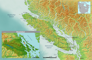
800 × 527 pixels
.
Other resolutions:
320 × 211 pixels
|
640 × 422 pixels
|
1,024 × 675 pixels
|
1,280 × 844 pixels
|
1,814 × 1,196 pixels
.
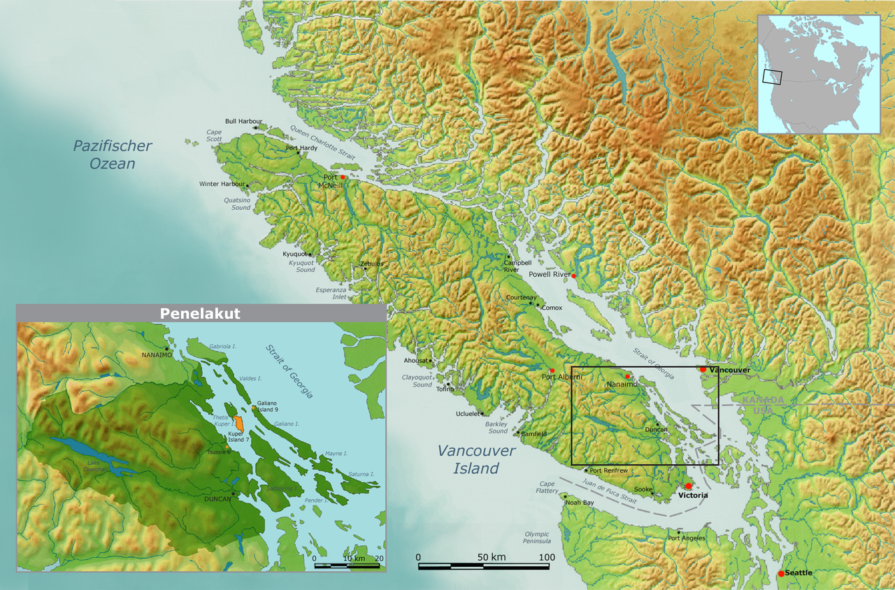
| Description | Map of traditional Penelakut tribal territory. | ||||
| Date | |||||
| Source | Own work by Nikater, submitted to the public domain. Background map courtesy of Demis, www.demis.nl | ||||
| Author | User:Nikater | ||||
|
Permission
( Reusing this file ) |
|