Peña_Cruz.jpg

Size of this preview:
800 × 302 pixels
.
Other resolutions:
320 × 121 pixels
|
640 × 241 pixels
|
1,024 × 386 pixels
|
2,121 × 800 pixels
.
Summary
| Description |
English:
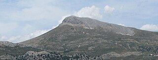
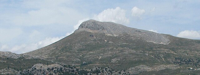
Peña de la Cruz (it means Cross' Peak) Sierra Arana's higher point 2027 meters (6650 feet) seen from Puerto de la Mora (Huétor Santillán).
Español:
Peña de la Cruz. Máxima elevación de
Sierra Arana
, 2027 msnm. desde el Puerto de la Mora (
Huétor Santilán
),
Granada
.
|
| Date | |
| Source | Own work |
| Author | JaviMF |
|
Permission
( Reusing this file ) |
No se puede reproducir la obra sin reconocer claramente su fuente y autor. |
| Camera location |
|
View this and other nearby images on: OpenStreetMap |
|
|---|
Licensing
I, the copyright holder of this work, hereby publish it under the following license:
This file is licensed under the
Creative Commons
Attribution 3.0 Unported
license.
-
You are free:
- to share – to copy, distribute and transmit the work
- to remix – to adapt the work
-
Under the following conditions:
- attribution – You must give appropriate credit, provide a link to the license, and indicate if changes were made. You may do so in any reasonable manner, but not in any way that suggests the licensor endorses you or your use.