Pingelap.png
No higher resolution available.
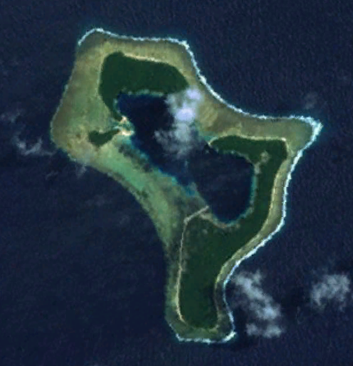
| Description | A satellite photo of the atoll of Pingelap, Federated States of Micronesia |
| Source | Own work |
| Author | Smurrayinchester |
|
|
This image is in the
public domain
because it is a screenshot from
NASA
’s globe software
World Wind
using a public domain layer, such as Blue Marble, MODIS, Landsat, SRTM, USGS or GLOBE.
|

|