Pomeraniae_Ducatus_Tabula.jpg

Size of this preview:
764 × 600 pixels
.
Other resolutions:
306 × 240 pixels
|
611 × 480 pixels
|
978 × 768 pixels
|
1,280 × 1,005 pixels
|
2,560 × 2,010 pixels
|
3,009 × 2,363 pixels
.
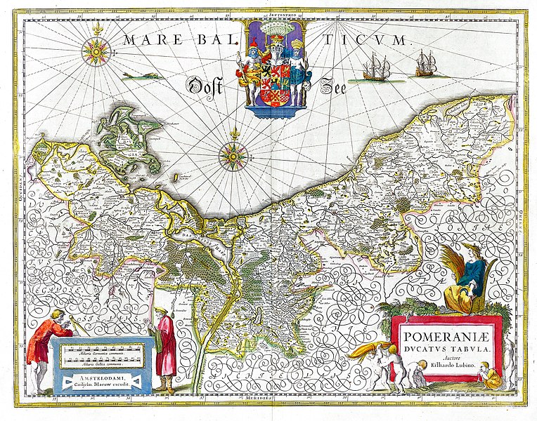
Summary
| Description |
Deutsch:
Karte des historischen Herzogtums
Pommern
aus dem 17. Jahrhundert.
English:
Map of the historical Duchy of
Pomerania
from the 17th century
|
||||||||||||||||||||
| Date | |||||||||||||||||||||
| Source | Willem & Joan Blaeu, Atlas Blaeu (later Atlas Maior ), 1662 | ||||||||||||||||||||
| Author |
|
||||||||||||||||||||
|
Permission
( Reusing this file ) |
PD-Old | ||||||||||||||||||||
| Other versions | Pomeraniae Ducatus Tabula2.jpg | ||||||||||||||||||||

Licensing
|
This is a faithful photographic reproduction of a two-dimensional,
public domain
work of art. The work of art itself is in the public domain for the following reason:
The official position taken by the Wikimedia Foundation is that "
faithful reproductions of two-dimensional public domain works of art are public domain
".
This photographic reproduction is therefore also considered to be in the public domain in the United States. In other jurisdictions, re-use of this content may be restricted; see Reuse of PD-Art photographs for details. |
||||