PoolHouseAstley(PhilipHalling)Jan2006.jpg
No higher resolution available.
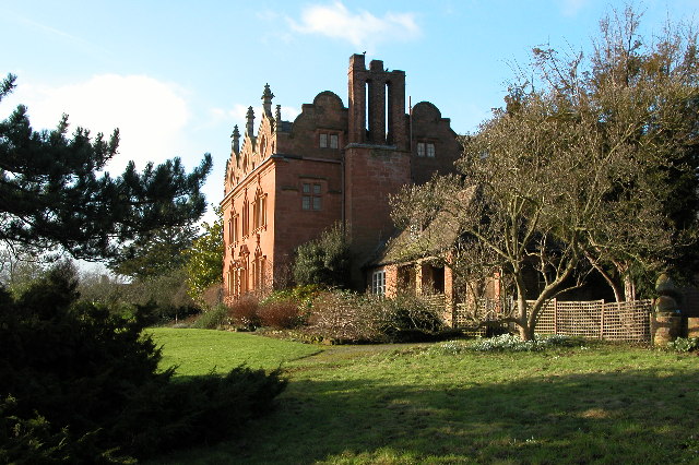
| Description | Pool House, Astley, Worcestershire , England, a Grade II listed Gothic Revival country house in the village of Astley, near Stourport-on-Severn |
| Date | |
| Source | From geograph.org.uk |
| Author | Philip Halling |
| Camera location |
|
View this and other nearby images on: OpenStreetMap |
|
|---|
Jan2006.jpg¶ms=052.312878_N_-002.299782_E_globe:Earth_type:camera_heading:292.00&language=en)

|
This image was taken from the
Geograph project
collection. See
this photograph's page
on the Geograph website for the photographer's contact details. The copyright on this image is owned by
Philip Halling
and is licensed for reuse under the
Creative Commons
Attribution-ShareAlike 2.0 license.
|
This file is licensed under the
Creative Commons
Attribution-Share Alike 2.0 Generic
license.
Attribution:
Philip Halling
-
You are free:
- to share – to copy, distribute and transmit the work
- to remix – to adapt the work
-
Under the following conditions:
- attribution – You must give appropriate credit, provide a link to the license, and indicate if changes were made. You may do so in any reasonable manner, but not in any way that suggests the licensor endorses you or your use.
- share alike – If you remix, transform, or build upon the material, you must distribute your contributions under the same or compatible license as the original.
Original upload log
The original description page was
here
. All following user names refer to en.wikipedia.
- 2006-09-18 21:21 Euchiasmus 640×426×??? (141991 bytes) Picture of Pool House, [[Astley, Worcestershire]], England, a Grade II listed Gothic Revival country house in the village of Astley, near Stourport-on-Severn, taken by Philip Halling in 2006 and placed on the geograph website under a Creative Commons Lice