RRS_James_Clark_Ross_Rothera.jpg

Size of this preview:
800 × 600 pixels
.
Other resolutions:
320 × 240 pixels
|
640 × 480 pixels
|
1,024 × 768 pixels
|
1,280 × 960 pixels
|
2,048 × 1,536 pixels
.
Summary
| Description |
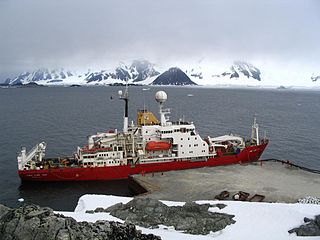
English:
The BAS ship RRS James Clark Ross, at the wharf at Rothera Station, Antarctica
|
| Date | |
| Source | Own work |
| Author | User Tom L-C |
| Camera location |
|
View this and other nearby images on: OpenStreetMap |
|
|---|
Licensing
Tom L-C
at the
English-language Wikipedia
, the copyright holder of this work, hereby publishes it under the following license:
|
|
This file is licensed under the Creative Commons Attribution-Share Alike 3.0 Unported license. Subject to disclaimers . | |
| Attribution: Tom L-C at the English-language Wikipedia | ||
|
||
| This licensing tag was added to this file as part of the GFDL licensing update . |

|
Permission is granted to copy, distribute and/or modify this document under the terms of the GNU Free Documentation License , Version 1.2 or any later version published by the Free Software Foundation ; with no Invariant Sections, no Front-Cover Texts, and no Back-Cover Texts. A copy of the license is included in the section entitled GNU Free Documentation License . Subject to disclaimers . |
Original upload log
| date/time | username | dimension | file size | edit summary |
|---|---|---|---|---|
| 03:44, 1 April 2007 | Tom L-C ( talk ) | 2048×1536 | 321 kB | (The BAS ship James Clark Ross, at the wharf at Rothera) |