Regulierwehr_Port01_08.jpg

Size of this preview:
800 × 600 pixels
.
Other resolutions:
320 × 240 pixels
|
640 × 480 pixels
|
1,024 × 768 pixels
|
1,280 × 960 pixels
|
1,600 × 1,200 pixels
.
Summary
| Camera location |
|
View this and other nearby images on: OpenStreetMap |
|
|---|
| Description |
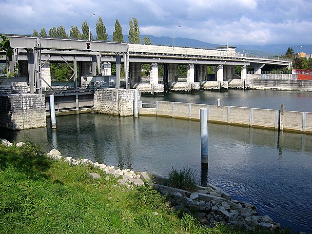
English:
Weir at river Aar near Biel including a sluice and a power station, view from southeastern bank; Port, Berne, Switzerland
Deutsch:
Regulierwehr der Aare bei Biel mit einer Schleuse und einem Kraftwerk, Sicht vom Südostufer, Port, Bern, Schweiz |
| Date | |
| Source | Own work |
| Author | Хрюша |
Licensing
I, the copyright holder of this work, hereby publish it under the following license:
This file is licensed under the
Creative Commons
Attribution-Share Alike 3.0 Unported
license.
-
You are free:
- to share – to copy, distribute and transmit the work
- to remix – to adapt the work
-
Under the following conditions:
- attribution – You must give appropriate credit, provide a link to the license, and indicate if changes were made. You may do so in any reasonable manner, but not in any way that suggests the licensor endorses you or your use.
- share alike – If you remix, transform, or build upon the material, you must distribute your contributions under the same or compatible license as the original.

|
This media was created by
Chriusha/Хрюша
.
|
|
Attribution
( required by the license ) |
|
| Additional information: | |
|
|
The mentioned licence on my media is exclusively valid for the version and resolution up to the shown on Wikimedia Commons. Any other version of the shown media or higher resolution optionally available on another website is not included in this licencing and not allowed for free use. |
|
|
The values of focal length and aperture in the metadata need to be read with precaution!
|