Relief_map_of_Crimea_(disputed_status).jpg

Size of this preview:
800 × 542 pixels
.
Other resolutions:
320 × 217 pixels
|
640 × 434 pixels
|
1,024 × 694 pixels
|
1,200 × 813 pixels
.
Summary
| Description |
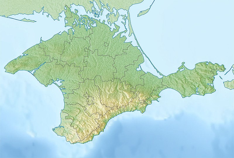
Русский:
Физическая карта Крыма
Равноугольная проекция, стандартная параллель — 45°15′с.ш. Параметры шаблона (координаты краёв):
English:
Physical map of the Crimea
Conformal projection, standard parallels — 45°15's.W. Template parameters (coordinates of the edges):
|
| Date | |
| Source | Relief map of Crimea.jpg |
| Author | original map (see authors of Relief map of Crimea.jpg ), derivative work: Dinamik |
Licensing
I, the copyright holder of this work, hereby publish it under the following license:
|
|
I, the copyright holder of this work, release this work into the
public domain
. This applies worldwide.
In some countries this may not be legally possible; if so: I grant anyone the right to use this work for any purpose , without any conditions, unless such conditions are required by law. |