Reliefkarte_Waadt_blank.png

Size of this preview:
711 × 600 pixels
.
Other resolutions:
285 × 240 pixels
|
569 × 480 pixels
|
911 × 768 pixels
|
1,214 × 1,024 pixels
|
2,429 × 2,048 pixels
|
3,733 × 3,148 pixels
.
| Description |
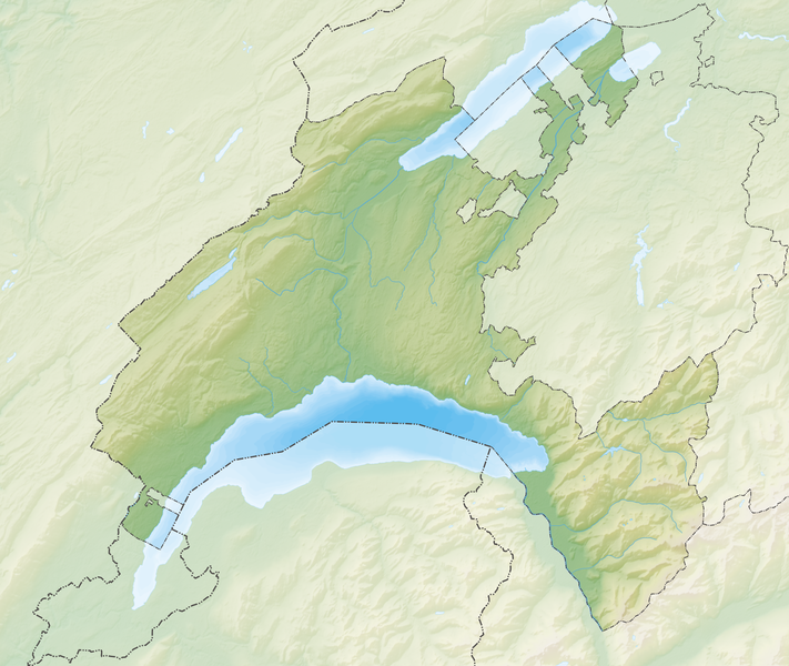
Deutsch:
Reliefkarte des Kantons Waadt
Topographischer Hintergrund:
NASA Shuttle Radar Topography Mission
(public domain). SRTM3 v.2.
|
||||||||
| Date | |||||||||
| Source | Own work | ||||||||
| Author | Tschubby | ||||||||
|
Permission
( Reusing this file ) |
I, the copyright holder of this work, hereby publish it under the following licenses:
This file is licensed under the
Creative Commons
Attribution-Share Alike
2.5 Generic
,
2.0 Generic
and
1.0 Generic
license.
You may select the license of your choice.
|
||||||||
| Other versions |

|
